Transport Functions
Road
Multimodal
Hub Profile
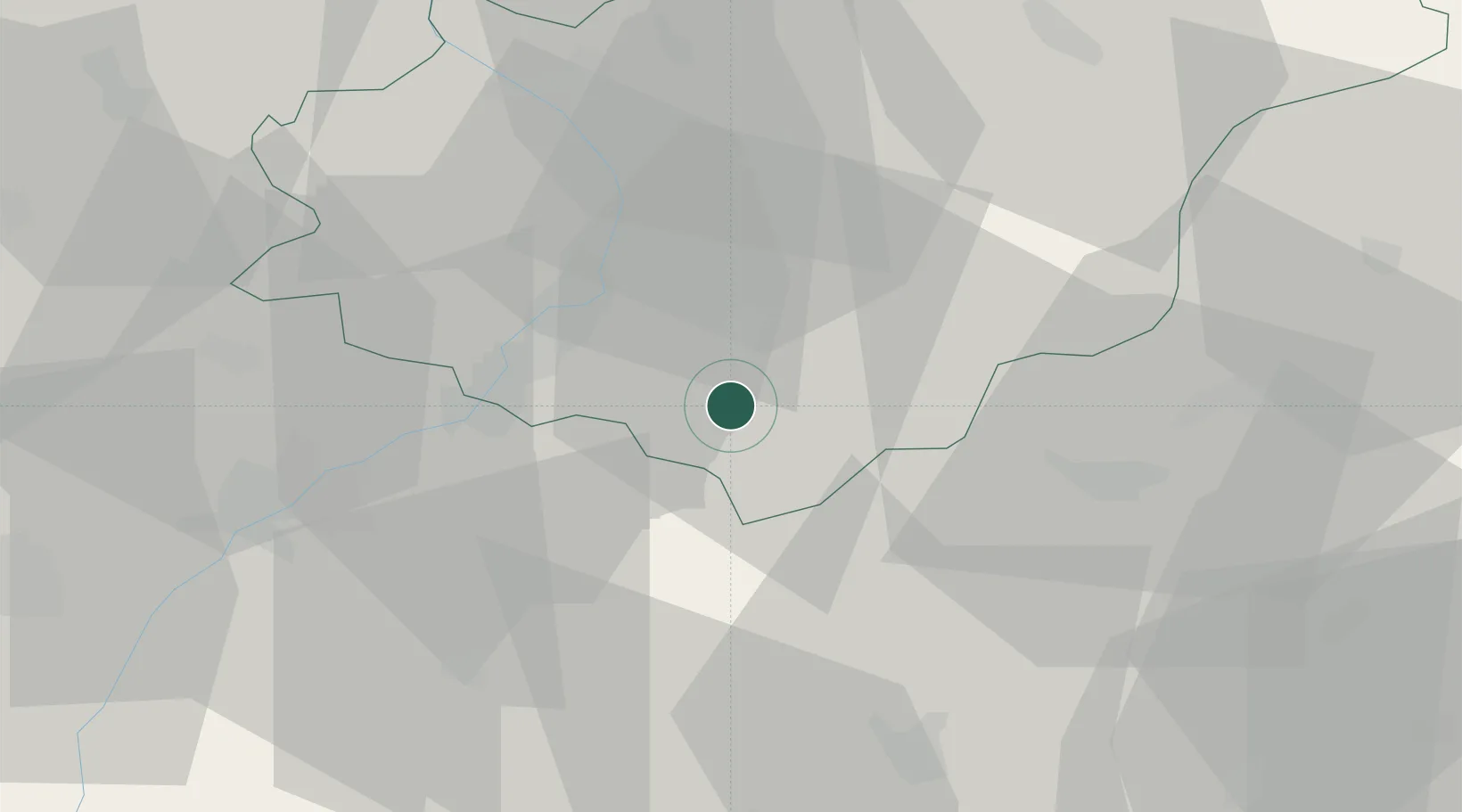
Place type
Populated place
Region
Zlín
Population
3,378
Time zone
Europe/Prague
Elevation
247 m
Location
Nearby Logistics Neighbours
Cities
- 1Borsice5 km
- 2Uherský Brod8 km
- 3Hluk9 km
- 4Dobrkovice15 km
- 5Kunovice15 km
Ports
- 1Monfalcone469 km
- 2Bakar470 km
- 3Rijeka Luka471 km
- 4Trieste471 km
- 5Muggia474 km
Airports
- 1Kunovice Airport16 km
- 2Piešťany Airport41 km
- 3Přerov Air Base54 km
- 4Brno-Tuřany Airport72 km
- 5Malacky/Kuchyňa Air Base73 km
Trade Zones
DatabookThe Record of Consolidated Knowledge
Czechia beyond logistics?