Transport Functions
Rail
Road
Hub Profile
Region
MO
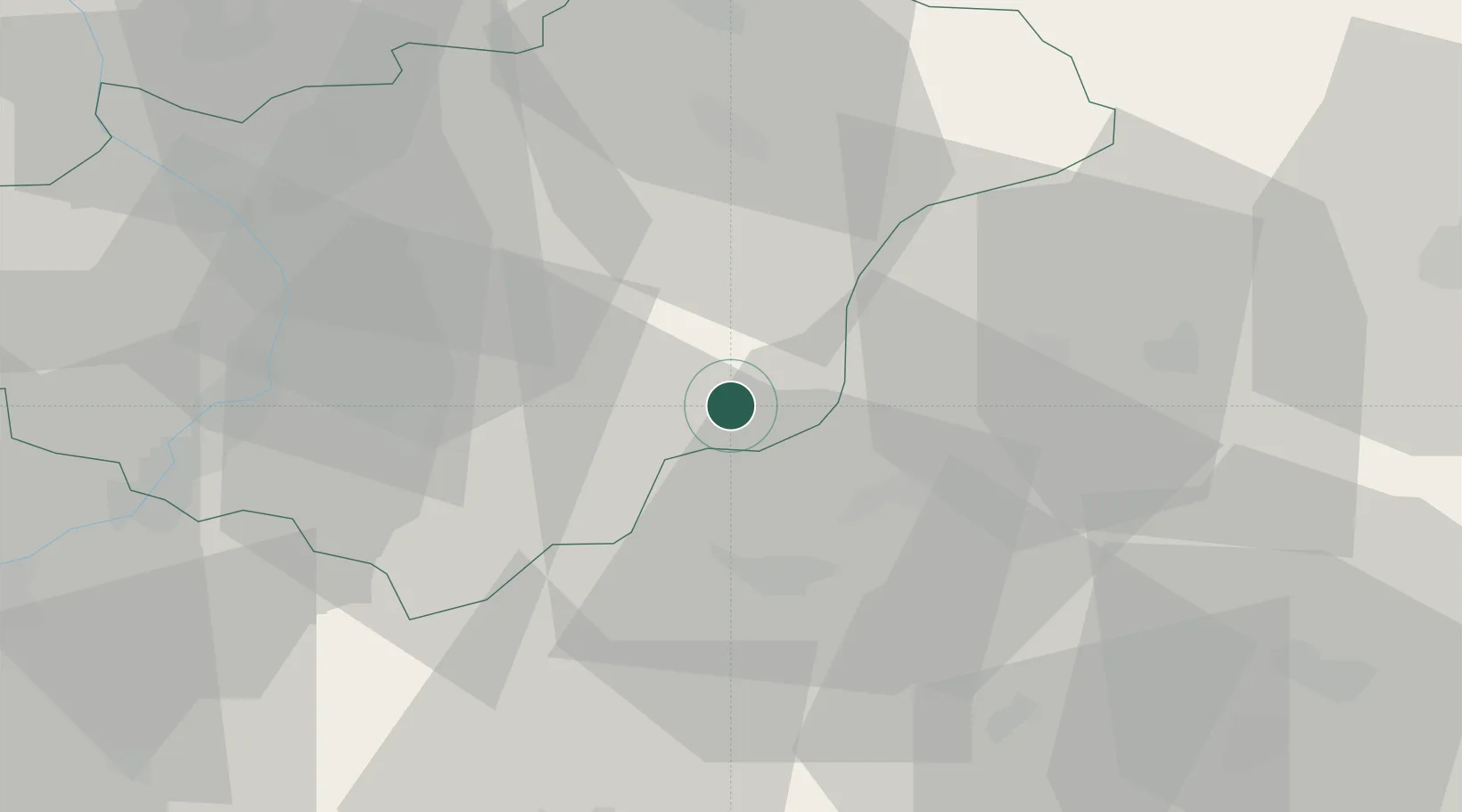
Location
Nearby Logistics Neighbours
Cities
- 1Valasske Klobouky9 km
- 2Ujezd13 km
- 3Dolní Lhota14 km
- 4Horní Lidec14 km
- 5Dolni Lhota u Luhacovic15 km
Ports
- 1Bakar493 km
- 2Rijeka Luka494 km
- 3Monfalcone494 km
- 4Trieste496 km
- 5Muggia499 km
Airports
- 1Kunovice Airport40 km
- 2Žilina-Dolný Hričov Airport49 km
- 3Piešťany Airport50 km
- 4Přerov Air Base58 km
- 5Leoš Janáček Airport Ostrava71 km
Trade Zones
DatabookThe Record of Consolidated Knowledge
Czechia beyond logistics?