UN/LOCODE hub · Slovakia
SKBNB

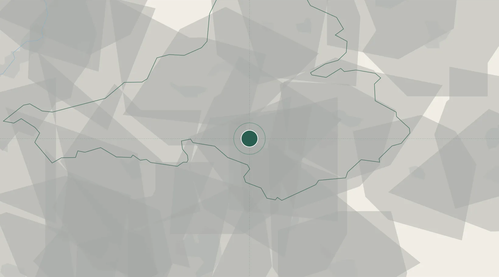
Bánovce nad Bebravou

48.7167°, 18.2500°
16,486
Population
3
Transport functions

Transport Functions

Rail
Road
Multimodal
UN/LOCODE

Hub Profile

Place type
Provincial seat
GeoNames
Region
Trenčín Region
GeoNames
Population
16,486
GeoNames
Time zone
Europe/Bratislava
GeoNames
Elevation
217 m
GeoNames

Location

Location of SKBNB
Natural Earth 10m (public domain) · Trenčín Region · SKBNB · 48.72, 18.25GoogleOSMYandex

Nearby Logistics Neighbours

Cities
  1. 1Sisov9 km
  2. 2Male Bielice11 km
  3. 3Partizánske14 km
  4. 4Krásno14 km
  5. 5Bosany15 km
Nearest neighbours — logibook spatial index (haversine) over the source coordinates
Ports
  1. 1Bakar473 km
  2. 2Rijeka Luka475 km
  3. 3Omisalj480 km
  4. 4Trieste482 km
  5. 5Monfalcone482 km
Nearest neighbours — logibook spatial index (haversine) over the source coordinates
Airports
  1. 1Piešťany Airport33 km
  2. 2Žilina-Dolný Hričov Airport63 km
  3. 3Sliač Airport66 km
  4. 4Kunovice Airport69 km
  5. 5Malacky/Kuchyňa Air Base90 km
Nearest neighbours — logibook spatial index (haversine) over the source coordinates
Trade Zones
  1. 1Veselí nad Moravou Industrial Zone69 km
  2. 2Holešov Industrial Zone85 km
  3. 3Mošnov Development Area109 km
  4. 4Černovická Terasa Industrial Zone126 km
  5. 5Karvinská Specialized Economic Zone129 km
Nearest neighbours — logibook spatial index (haversine) over the source coordinates
DatabookThe Record of Consolidated Knowledge
Slovakia beyond logistics?
Browse databook

All Sources

LocationsUN/LOCODE
UN/LOCODE — free
LocationsGeoNames
CC BY 4.0
Portsthe NGA World Port Index
Public domain (US gov)
AirportsOurAirports
Public domain
Trade Zonesthe World Bank SEZ database
CC BY 4.0
Trade ZonesOpen Zone Map
CC BY
← Slovakia locations