Transport Functions
Rail
Road
Multimodal
Hub Profile
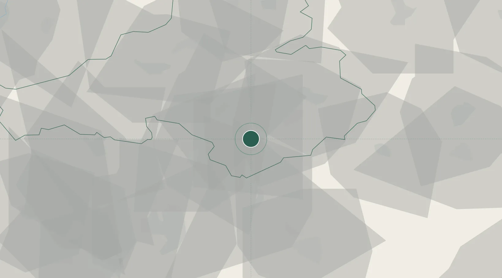
Place type
Provincial seat
Region
Trenčín Region
Population
20,739
Time zone
Europe/Bratislava
Elevation
192 m
Location
Nearby Logistics Neighbours
Cities
- 1Male Uherce2 km
- 2Male Bielice4 km
- 3Oslany6 km
- 4Krásno6 km
- 5Bosany9 km
Ports
- 1Bakar472 km
- 2Rijeka Luka474 km
- 3Omisalj479 km
- 4Trieste483 km
- 5Monfalcone483 km
Airports
- 1Piešťany Airport41 km
- 2Sliač Airport55 km
- 3Žilina-Dolný Hričov Airport69 km
- 4Kunovice Airport82 km
- 5Malacky/Kuchyňa Air Base97 km
Trade Zones
DatabookThe Record of Consolidated Knowledge
Slovakia beyond logistics?