Transport Functions
Port
Road
Hub Profile
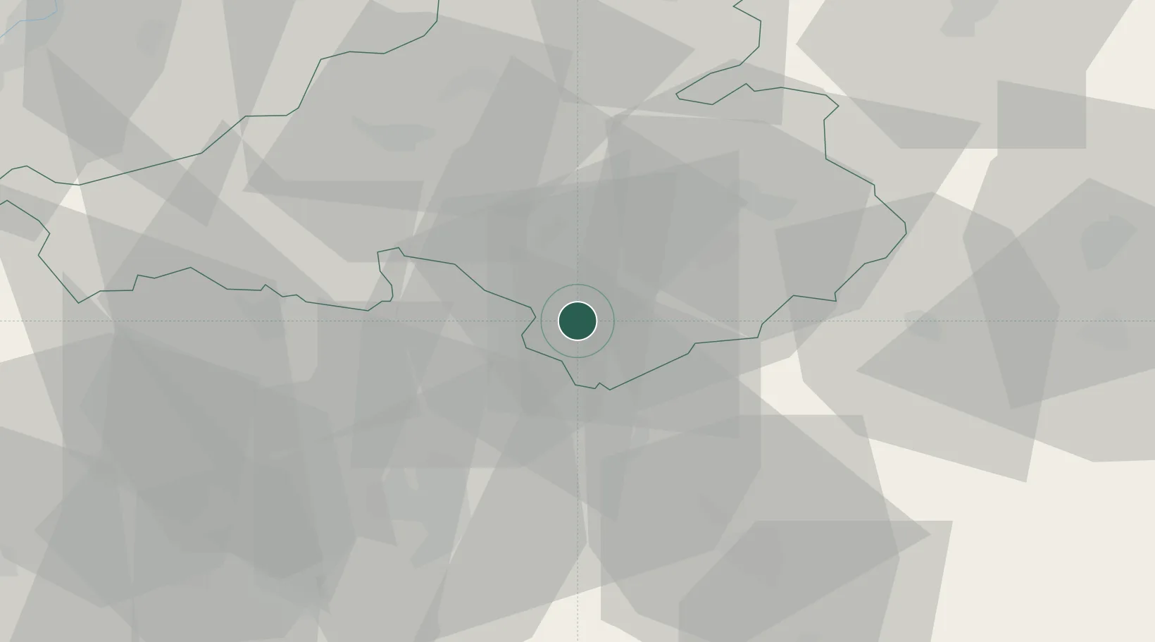
Place type
Populated place
Region
Trenčín Region
Time zone
Europe/Bratislava
Elevation
192 m
Location
Nearby Logistics Neighbours
Cities
- 1Bosany3 km
- 2Male Bielice4 km
- 3Partizánske6 km
- 4Male Uherce6 km
- 5Krusovce9 km
Ports
- 1Bakar466 km
- 2Rijeka Luka468 km
- 3Omisalj473 km
- 4Trieste476 km
- 5Monfalcone477 km
Airports
- 1Piešťany Airport36 km
- 2Sliač Airport60 km
- 3Žilina-Dolný Hričov Airport74 km
- 4Kunovice Airport80 km
- 5Malacky/Kuchyňa Air Base91 km
Trade Zones
DatabookThe Record of Consolidated Knowledge
Slovakia beyond logistics?