UN/LOCODE hub · Slovenia
SIZ42
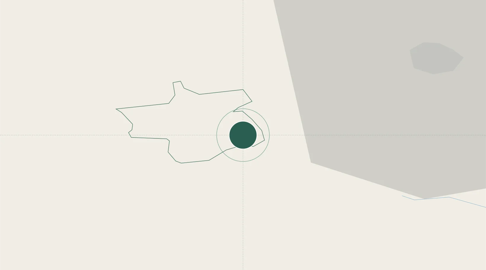
Zagorje ob Savi
46.1333°, 15.0000°
6,439
Population
2
Transport functions
Transport Functions
Port
Multimodal
Hub Profile
Place type
Regional capital
Region
Zagorje ob Savi Municipality
Population
6,439
Time zone
Europe/Ljubljana
Elevation
244 m
Location
Nearby Logistics Neighbours
Cities
- 1Hrastnik7 km
- 2Dol pri Hrastniku8 km
- 3Trojane12 km
- 4Vransko12 km
- 5Zidani Most14 km
Ports
- 1Rijeka Luka99 km
- 2Bakar100 km
- 3Omisalj108 km
- 4Trieste111 km
- 5Muggia112 km
Airports
Trade Zones
- 1Krapina-Zagorje Free Zone68 km
- 2PJ Free Zone Zagreb77 km
- 3Free Zone Kukuljanovo97 km
- 4Sjever Free Zone105 km
- 5Free Port of Trieste111 km
DatabookThe Record of Consolidated Knowledge
Slovenia beyond logistics?