Transport Functions
Road
Multimodal
Hub Profile
Place type
Regional capital
Region
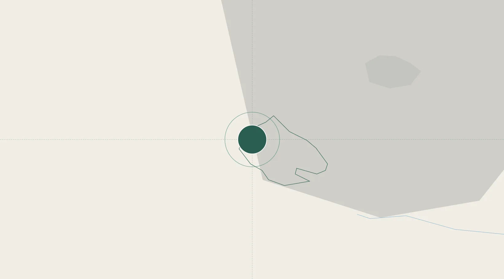
Hrastnik Municipality
Population
5,621
Time zone
Europe/Ljubljana
Elevation
419 m
Location
Nearby Logistics Neighbours
Cities
- 1Dol pri Hrastniku2 km
- 2Zagorje ob Savi7 km
- 3Grize9 km
- 4Zidani Most10 km
- 5Sempeter v Savinjski Dolini11 km
Ports
- 1Bakar104 km
- 2Rijeka Luka104 km
- 3Omisalj112 km
- 4Trieste117 km
- 5Muggia119 km
Airports
Trade Zones
- 1Krapina-Zagorje Free Zone61 km
- 2PJ Free Zone Zagreb73 km
- 3Sjever Free Zone98 km
- 4Free Zone Kukuljanovo101 km
- 5Free Port of Trieste117 km
DatabookThe Record of Consolidated Knowledge
Slovenia beyond logistics?