Transport Functions
Rail
Road
Hub Profile
Place type
Regional capital
Region
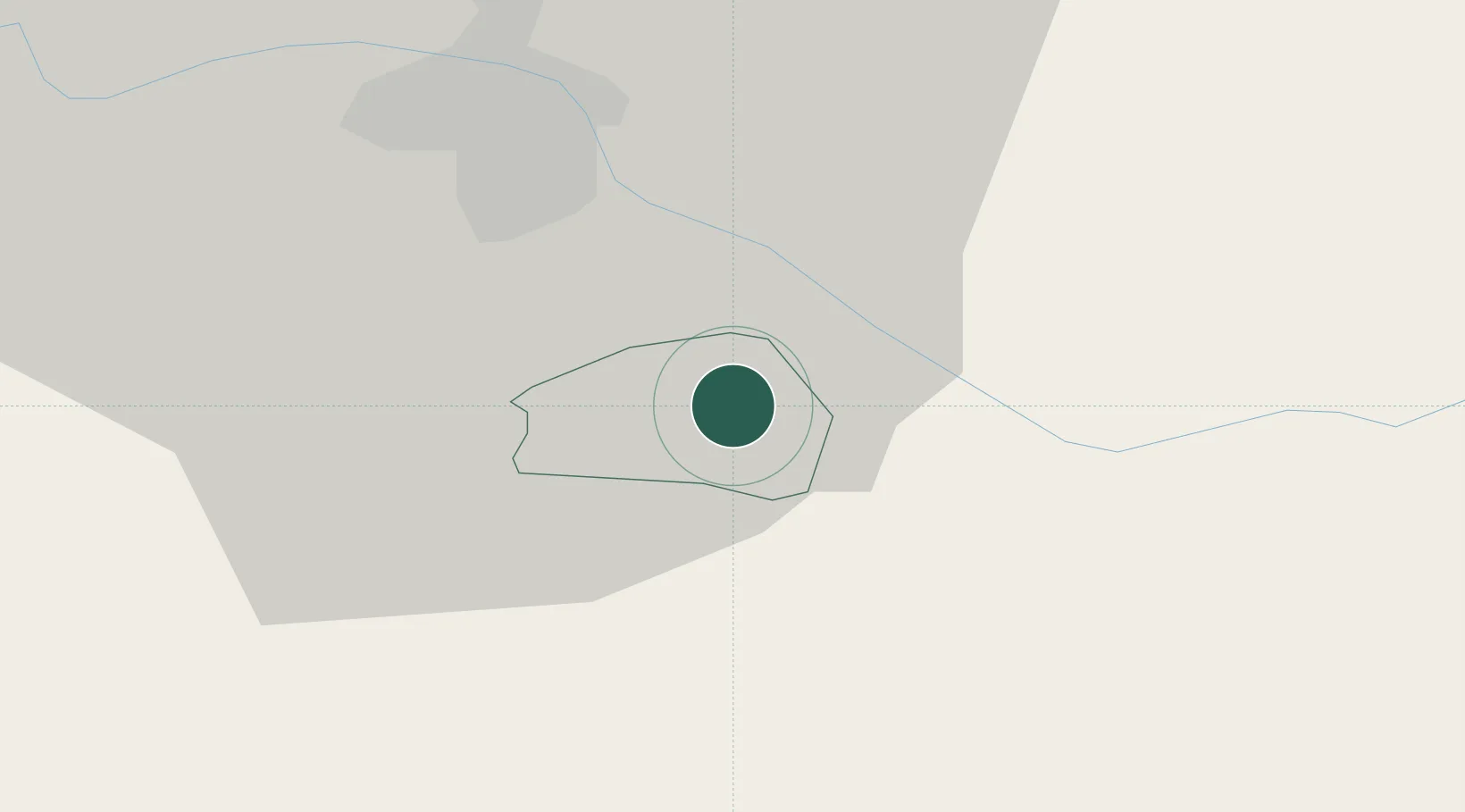
Kidričevo
Population
1,253
Time zone
Europe/Ljubljana
Elevation
235 m
Location
Nearby Logistics Neighbours
Cities
- 1Ptuj7 km
- 2Zgornja Loznica13 km
- 3Zgornja Korena13 km
- 4Zgornja Polskava14 km
- 5Zgornji Leskovec15 km
Ports
- 1Bakar156 km
- 2Rijeka Luka158 km
- 3Omisalj163 km
- 4Senj172 km
- 5Trieste178 km
Airports
Trade Zones
- 1Krapina-Zagorje Free Zone29 km
- 2Sjever Free Zone44 km
- 3PJ Free Zone Zagreb67 km
- 4Free Zone Kukuljanovo154 km
- 5Free Port of Trieste178 km
DatabookThe Record of Consolidated Knowledge
Slovenia beyond logistics?