Transport Functions
Rail
Road
Hub Profile
Place type
Populated place
Region
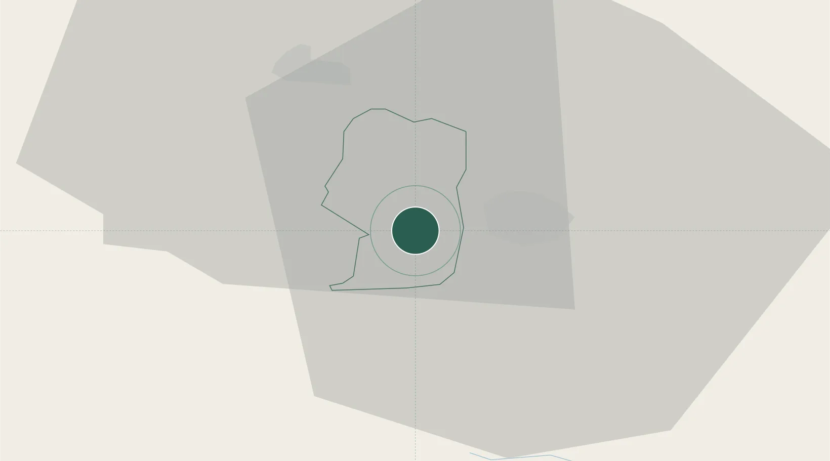
Žalec
Population
973
Time zone
Europe/Ljubljana
Elevation
249 m
Location
Nearby Logistics Neighbours
Cities
- 1Grize3 km
- 2Sempeter v Savinjski Dolini6 km
- 3Celje8 km
- 4Store9 km
- 5Lasko10 km
Ports
- 1Bakar115 km
- 2Rijeka Luka116 km
- 3Omisalj123 km
- 4Trieste129 km
- 5Muggia130 km
Airports
- 1Cerklje ob Krki Air Base46 km
- 2Maribor Edvard Rusjan Airport47 km
- 3Ljubljana Jože Pučnik Airport56 km
- 4Klagenfurt Airport79 km
- 5Graz Airport87 km
Trade Zones
- 1Krapina-Zagorje Free Zone54 km
- 2PJ Free Zone Zagreb72 km
- 3Sjever Free Zone89 km
- 4Free Zone Kukuljanovo113 km
- 5Free Port of Trieste128 km
DatabookThe Record of Consolidated Knowledge
Slovenia beyond logistics?