Transport Functions
Multimodal
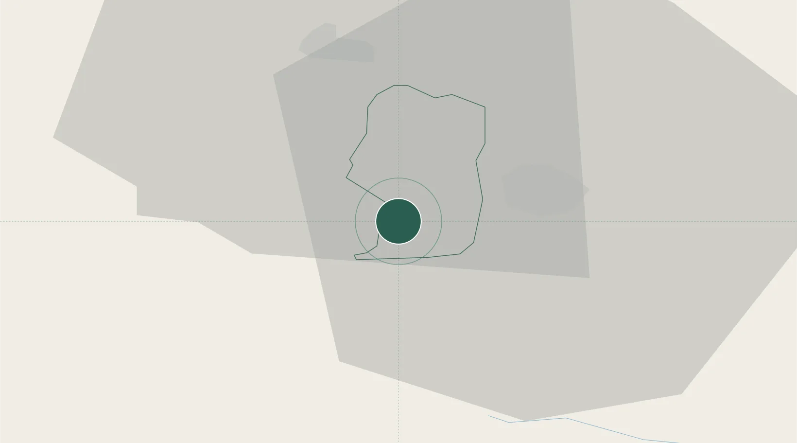
Hub Profile
Place type
Populated place
Region
Žalec
Population
654
Time zone
Europe/Ljubljana
Elevation
294 m
Location
Nearby Logistics Neighbours
Cities
- 1Petrovce3 km
- 2Sempeter v Savinjski Dolini5 km
- 3Hrastnik9 km
- 4Lasko10 km
- 5Dol pri Hrastniku10 km
Ports
- 1Bakar113 km
- 2Rijeka Luka113 km
- 3Omisalj121 km
- 4Trieste126 km
- 5Muggia127 km
Airports
Trade Zones
- 1Krapina-Zagorje Free Zone56 km
- 2PJ Free Zone Zagreb73 km
- 3Sjever Free Zone92 km
- 4Free Zone Kukuljanovo110 km
- 5Free Port of Trieste125 km
DatabookThe Record of Consolidated Knowledge
Slovenia beyond logistics?