Transport Functions
Rail
Road
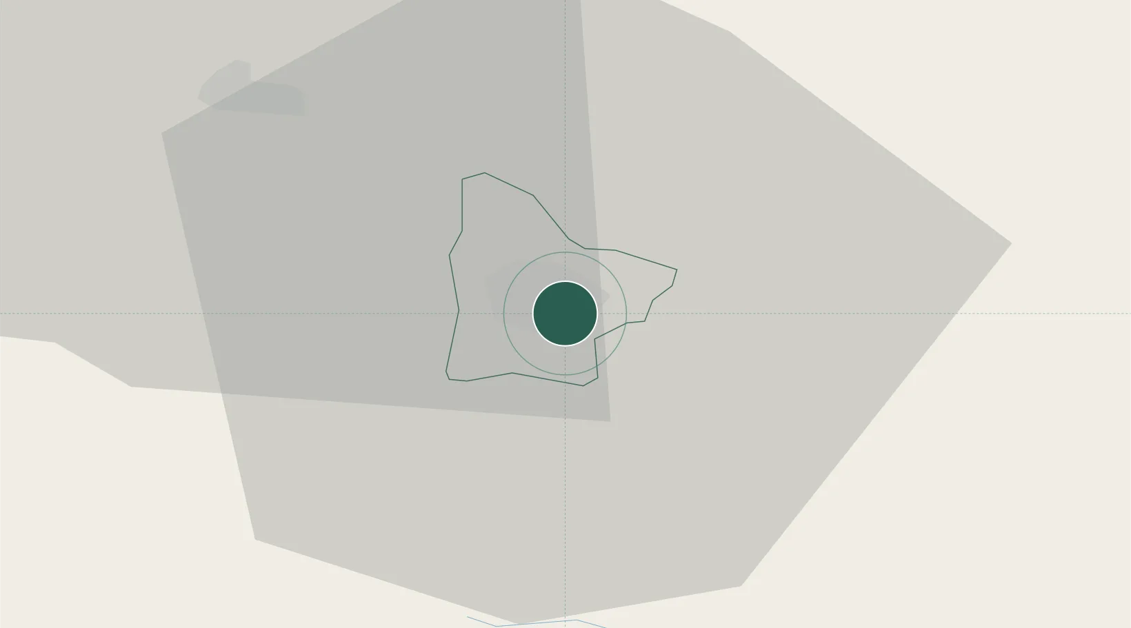
Hub Profile
Place type
Regional capital
Region
Celje
Population
38,059
Time zone
Europe/Ljubljana
Elevation
240 m
Logistics facilities
1
Location
Nearby Logistics Neighbours
Ports
- 1Bakar119 km
- 2Rijeka Luka120 km
- 3Omisalj127 km
- 4Trieste136 km
- 5Muggia137 km
Airports
Trade Zones
- 1Krapina-Zagorje Free Zone46 km
- 2PJ Free Zone Zagreb66 km
- 3Sjever Free Zone81 km
- 4Free Zone Kukuljanovo117 km
- 5Free Port of Trieste136 km
DatabookThe Record of Consolidated Knowledge
Slovenia beyond logistics?