Transport Functions
Rail
Road
Hub Profile
Place type
Populated place
Region
Hrpelje-Kozina
Population
544
Time zone
Europe/Ljubljana
Elevation
494 m
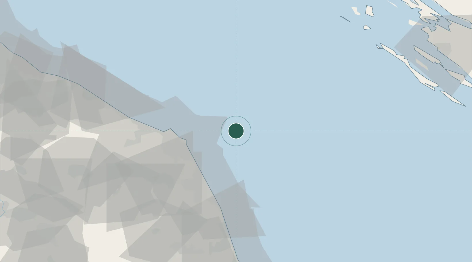
Location
Nearby Logistics Neighbours
Cities
- 1Numana28 km
- 2Porto Recanati30 km
- 3Offagna32 km
- 4Loreto34 km
- 5Ancona38 km
Ports
- 1Ancona35 km
- 2Civitanova Marche37 km
- 3Senigallia59 km
- 4San Benedetto Del Tronto73 km
- 5Fano78 km
Airports
Trade Zones
- 1Port of Pula Free Zone139 km
- 2Abruzzo Special Economic Zone155 km
- 3Port of Rijeka Free Zone177 km
- 4Free Zone Kukuljanovo197 km
- 5Port of Split Free Zone201 km
DatabookThe Record of Consolidated Knowledge
Slovenia beyond logistics?