Transport Functions
Port
Road
Hub Profile
Place type
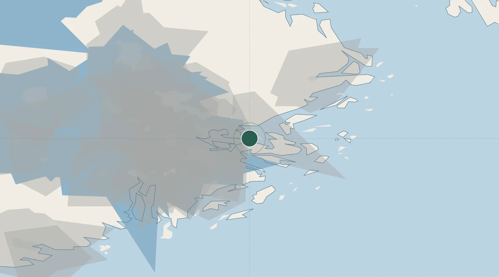
Provincial seat
Region
Stockholm
Population
4,849
Time zone
Europe/Stockholm
Elevation
10 m
Location
Nearby Logistics Neighbours
Cities
- 1Gustavsvik/Stockholm10 km
- 2Bergs oljehamn13 km
- 3Sickla17 km
- 4Tomteboda/Solna19 km
- 5Bällstaviken22 km
Ports
- 1Gustavsberg10 km
- 2Stockholm18 km
- 3Sodertalje46 km
- 4Nynashamn59 km
- 5Hallstavik74 km
Airports
- 1Stockholm-Bromma Airport23 km
- 2Stockholm-Arlanda Airport36 km
- 3Eskilstuna Airport92 km
- 4Stockholm Västerås Airport98 km
- 5Stockholm Skavsta Airport106 km
Trade Zones
- 1Stockholm Free Zone14 km
- 2Turku Free Zone245 km
- 3Freeport of Hanko260 km
- 4Free port of Ventspils290 km
- 5Jönköping Free Zone306 km
DatabookThe Record of Consolidated Knowledge
Sweden beyond logistics?