UN/LOCODE hub · Sweden
SEGKS

Gustavsvik/Stockholm

59.3167°, 18.3000°
1
Transport functions

Transport Functions

Port
UN/LOCODE

Hub Profile

Region
AB
GeoNames

Location

Location of SEGKS
Natural Earth 10m (public domain) · AB · SEGKS · 59.32, 18.30GoogleOSMYandex

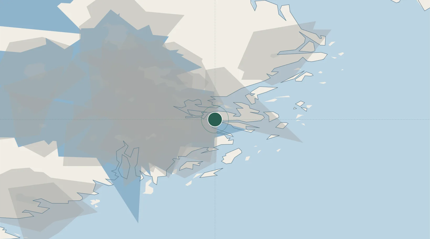
Nearby Logistics Neighbours

Cities
  1. 1Bergs oljehamn8 km
  2. 2Vaxholm10 km
  3. 3Sickla11 km
  4. 4Trangsund13 km
  5. 5Vendelsö14 km
Nearest neighbours — logibook spatial index (haversine) over the source coordinates
Ports
  1. 1Gustavsberg5 km
  2. 2Stockholm14 km
  3. 3Sodertalje40 km
  4. 4Nynashamn50 km
  5. 5Hallstavik83 km
Nearest neighbours — logibook spatial index (haversine) over the source coordinates
Airports
  1. 1Stockholm-Bromma Airport21 km
  2. 2Stockholm-Arlanda Airport42 km
  3. 3Eskilstuna Airport90 km
  4. 4Stockholm Skavsta Airport99 km
  5. 5Stockholm Västerås Airport99 km
Nearest neighbours — logibook spatial index (haversine) over the source coordinates
Trade Zones
  1. 1Stockholm Free Zone11 km
  2. 2Turku Free Zone252 km
  3. 3Freeport of Hanko264 km
  4. 4Free port of Ventspils284 km
  5. 5Jönköping Free Zone299 km
Nearest neighbours — logibook spatial index (haversine) over the source coordinates
DatabookThe Record of Consolidated Knowledge
Sweden beyond logistics?
Browse databook

All Sources

LocationsUN/LOCODE
UN/LOCODE — free
Portsthe NGA World Port Index
Public domain (US gov)
AirportsOurAirports
Public domain
Trade Zonesthe World Bank SEZ database
CC BY 4.0
Trade ZonesOpen Zone Map
CC BY
← Sweden locations