Transport Functions
Port
Rail
Road
Hub Profile
Region
C
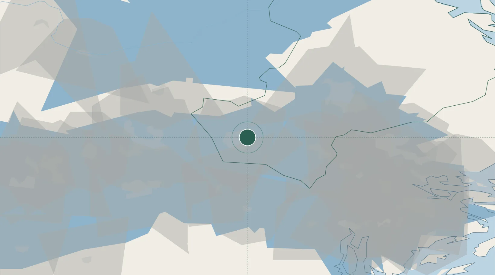
Location
Nearby Logistics Neighbours
Cities
- 1Grillby10 km
- 2Bålsta24 km
- 3Ön27 km
- 4Kalmarsand28 km
- 5Morgongåva31 km
Ports
- 1Vasteras31 km
- 2Sodertalje62 km
- 3Stockholm65 km
- 4Gustavsberg82 km
- 5Hallstavik93 km
Airports
- 1Stockholm Västerås Airport28 km
- 2Eskilstuna Airport42 km
- 3Stockholm-Arlanda Airport47 km
- 4Stockholm-Bromma Airport59 km
- 5Stockholm Skavsta Airport98 km
Trade Zones
- 1Stockholm Free Zone67 km
- 2Jönköping Free Zone273 km
- 3Turku Free Zone297 km
- 4Freeport of Hanko324 km
- 5Free port of Ventspils360 km
DatabookThe Record of Consolidated Knowledge
Sweden beyond logistics?