Transport Functions
Port
Rail
Road
Hub Profile
Place type
Populated place
Region
Västerbotten
Time zone
Europe/Stockholm
Elevation
279 m
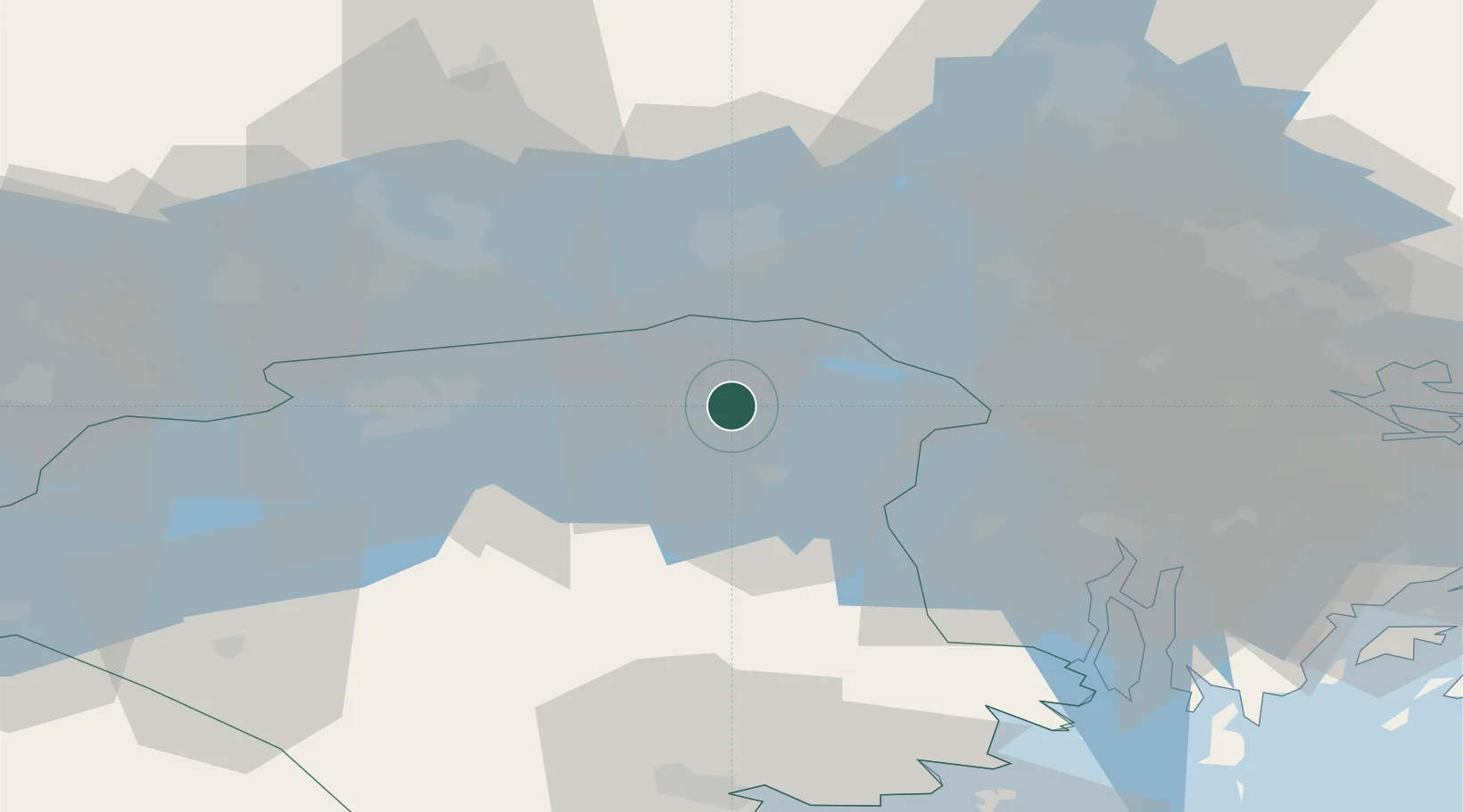
Location
Nearby Logistics Neighbours
Cities
- 1Gorsingeholm4 km
- 2Malmby6 km
- 3Ön22 km
- 4Hässelbyverket/Stockholm26 km
- 5Grillby29 km
Ports
- 1Vasteras38 km
- 2Sodertalje42 km
- 3Stockholm58 km
- 4Nykoping70 km
- 5Nynashamn76 km
Airports
- 1Eskilstuna Airport19 km
- 2Stockholm Västerås Airport32 km
- 3Stockholm-Bromma Airport52 km
- 4Stockholm-Arlanda Airport59 km
- 5Stockholm Skavsta Airport66 km
Trade Zones
- 1Stockholm Free Zone61 km
- 2Jönköping Free Zone248 km
- 3Turku Free Zone312 km
- 4Freeport of Hanko333 km
- 5Free port of Ventspils342 km
DatabookThe Record of Consolidated Knowledge
Sweden beyond logistics?