Transport Functions
Port
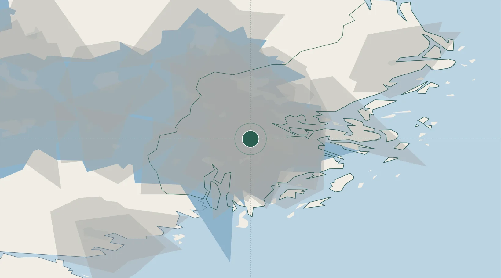
Hub Profile
Place type
Populated place
Region
Stockholm
Population
348
Time zone
Europe/Stockholm
Elevation
21 m
Location
Nearby Logistics Neighbours
Cities
- 1Segeltorp5 km
- 2Bällstaviken6 km
- 3Vårby8 km
- 4Tomteboda/Solna8 km
- 5Älvsjö/Stockholm9 km
Ports
- 1Stockholm10 km
- 2Sodertalje20 km
- 3Gustavsberg28 km
- 4Nynashamn47 km
- 5Nykoping80 km
Airports
Trade Zones
- 1Stockholm Free Zone13 km
- 2Turku Free Zone272 km
- 3Jönköping Free Zone279 km
- 4Freeport of Hanko287 km
- 5Free port of Ventspils301 km
DatabookThe Record of Consolidated Knowledge
Sweden beyond logistics?