Transport Functions
Multimodal
Hub Profile
Place type
Urban district
Region
Stockholm
Population
10,536
Time zone
Europe/Stockholm
Elevation
41 m
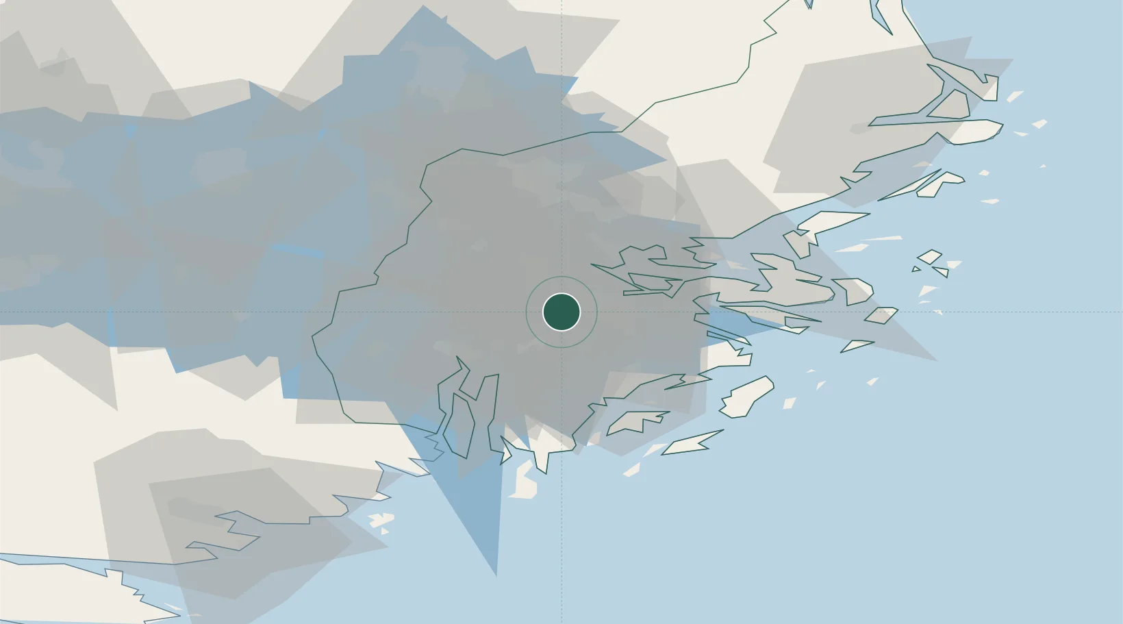
Location
Nearby Logistics Neighbours
Cities
- 1Älvsjö/Stockholm4 km
- 2Drottningholm5 km
- 3Vårby5 km
- 4Bällstaviken8 km
- 5Tomteboda/Solna9 km
Ports
- 1Stockholm9 km
- 2Sodertalje20 km
- 3Gustavsberg26 km
- 4Nynashamn43 km
- 5Nykoping79 km
Airports
Trade Zones
- 1Stockholm Free Zone13 km
- 2Turku Free Zone272 km
- 3Jönköping Free Zone280 km
- 4Freeport of Hanko285 km
- 5Free port of Ventspils296 km
DatabookThe Record of Consolidated Knowledge
Sweden beyond logistics?