Transport Functions
Rail
Road
Hub Profile
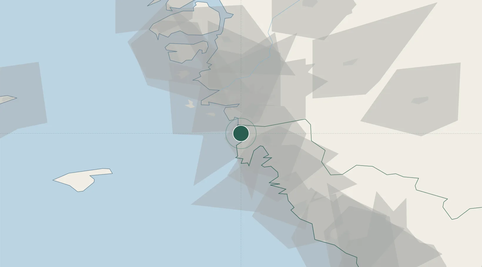
Place type
Populated place
Region
Halland
Time zone
Europe/Stockholm
Elevation
29 m
Location
Nearby Logistics Neighbours
Cities
- 1Heberg8 km
- 2Vrångö10 km
- 3Kungsbacka11 km
- 4Sandvik, Styrsö14 km
- 5Onsala14 km
Ports
- 1Goteborg20 km
- 2Marstrand44 km
- 3Varberg51 km
- 4Stenungsund61 km
- 5Falkenberg79 km
Airports
- 1Göteborg Landvetter Airport25 km
- 2Säve Airport27 km
- 3Læsø Airport63 km
- 4Trollhättan-Vänersborg Airport91 km
- 5Anholt Airfield96 km
Trade Zones
DatabookThe Record of Consolidated Knowledge
Sweden beyond logistics?