UN/LOCODE hub · Sweden
SEGOT

Göteborg

57.7098°, 11.8537°
5
Transport functions
3
Container terminals

Transport Functions

Port
Rail
Road
Airport
Postal
Göteborg is also a profiled seaport →
UN/LOCODE

Hub Profile

Region
O
GeoNames
Logistics facilities
16
UN/LOCODE
Container terminals
3
UN/LOCODE

Location

Location of SEGOT
Natural Earth 10m (public domain) · O · SEGOT · 57.71, 11.85GoogleOSMYandex

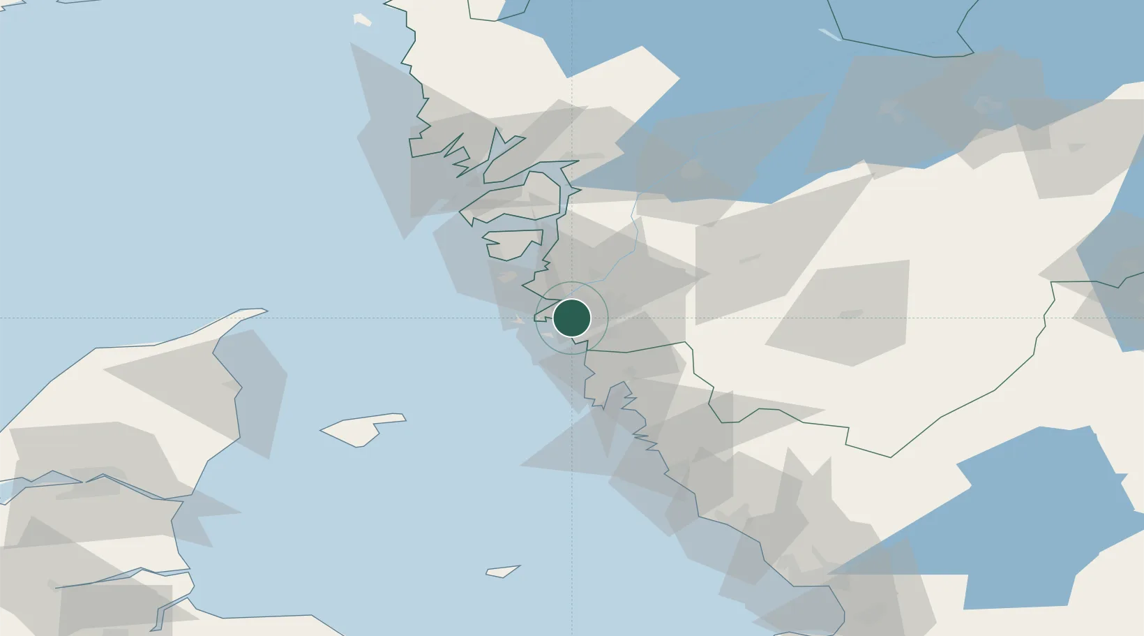
Nearby Logistics Neighbours

Cities
  1. 1Agnesberg11 km
  2. 2Sandvik, Styrsö12 km
  3. 3Hönö13 km
  4. 4Pixbo/Härryda15 km
  5. 5Surte15 km
Nearest neighbours — logibook spatial index (haversine) over the source coordinates
Ports
  1. 1Marstrand25 km
  2. 2Stenungsund41 km
  3. 3Lysekil67 km
  4. 4Uddevalla70 km
  5. 5Varberg71 km
Nearest neighbours — logibook spatial index (haversine) over the source coordinates
Airports
  1. 1Säve Airport7 km
  2. 2Göteborg Landvetter Airport26 km
  3. 3Læsø Airport70 km
  4. 4Trollhättan-Vänersborg Airport74 km
  5. 5Såtenäs Air Base94 km
Nearest neighbours — logibook spatial index (haversine) over the source coordinates
Trade Zones
  1. 1Gothenburg Boundless Customs Warehouse3 km
  2. 2Jönköping Free Zone133 km
  3. 3Freeport of Copenhagen- Nordhavn227 km
  4. 4MTS Malmö Transport and Spedition246 km
  5. 5Freeport of Kiel390 km
Nearest neighbours — logibook spatial index (haversine) over the source coordinates
DatabookThe Record of Consolidated Knowledge
Sweden beyond logistics?
Browse databook

All Sources

LocationsUN/LOCODE
UN/LOCODE — free
Portsthe NGA World Port Index
Public domain (US gov)
AirportsOurAirports
Public domain
Trade Zonesthe World Bank SEZ database
CC BY 4.0
Trade ZonesOpen Zone Map
CC BY
← Sweden locations