UN/LOCODE hub · Sweden
SESTR

Sandvik, Styrsö

57.6167°, 11.7667°
2
Transport functions

Transport Functions

Port
Road
UN/LOCODE

Hub Profile

Region
O
GeoNames

Location

Location of SESTR
Natural Earth 10m (public domain) · O · SESTR · 57.62, 11.77GoogleOSMYandex

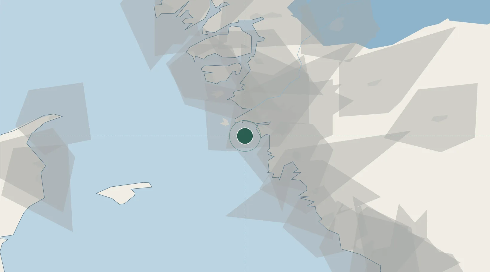
Nearby Logistics Neighbours

Cities
  1. 1Vrångö6 km
  2. 2Hönö11 km
  3. 3Göteborg12 km
  4. 4Kullavik14 km
  5. 5Pixbo/Härryda19 km
Nearest neighbours — logibook spatial index (haversine) over the source coordinates
Ports
  1. 1Goteborg15 km
  2. 2Marstrand32 km
  3. 3Stenungsund52 km
  4. 4Varberg63 km
  5. 5Skagen Havn70 km
Nearest neighbours — logibook spatial index (haversine) over the source coordinates
Airports
  1. 1Säve Airport19 km
  2. 2Göteborg Landvetter Airport31 km
  3. 3Læsø Airport59 km
  4. 4Trollhättan-Vänersborg Airport85 km
  5. 5Sindal Airport93 km
Nearest neighbours — logibook spatial index (haversine) over the source coordinates
Trade Zones
  1. 1Gothenburg Boundless Customs Warehouse10 km
  2. 2Jönköping Free Zone139 km
  3. 3Freeport of Copenhagen- Nordhavn218 km
  4. 4MTS Malmö Transport and Spedition238 km
  5. 5Freeport of Kiel378 km
Nearest neighbours — logibook spatial index (haversine) over the source coordinates
DatabookThe Record of Consolidated Knowledge
Sweden beyond logistics?
Browse databook

All Sources

LocationsUN/LOCODE
UN/LOCODE — free
Portsthe NGA World Port Index
Public domain (US gov)
AirportsOurAirports
Public domain
Trade Zonesthe World Bank SEZ database
CC BY 4.0
Trade ZonesOpen Zone Map
CC BY
← Sweden locations