Transport Functions
Road
Multimodal
Hub Profile
Place type
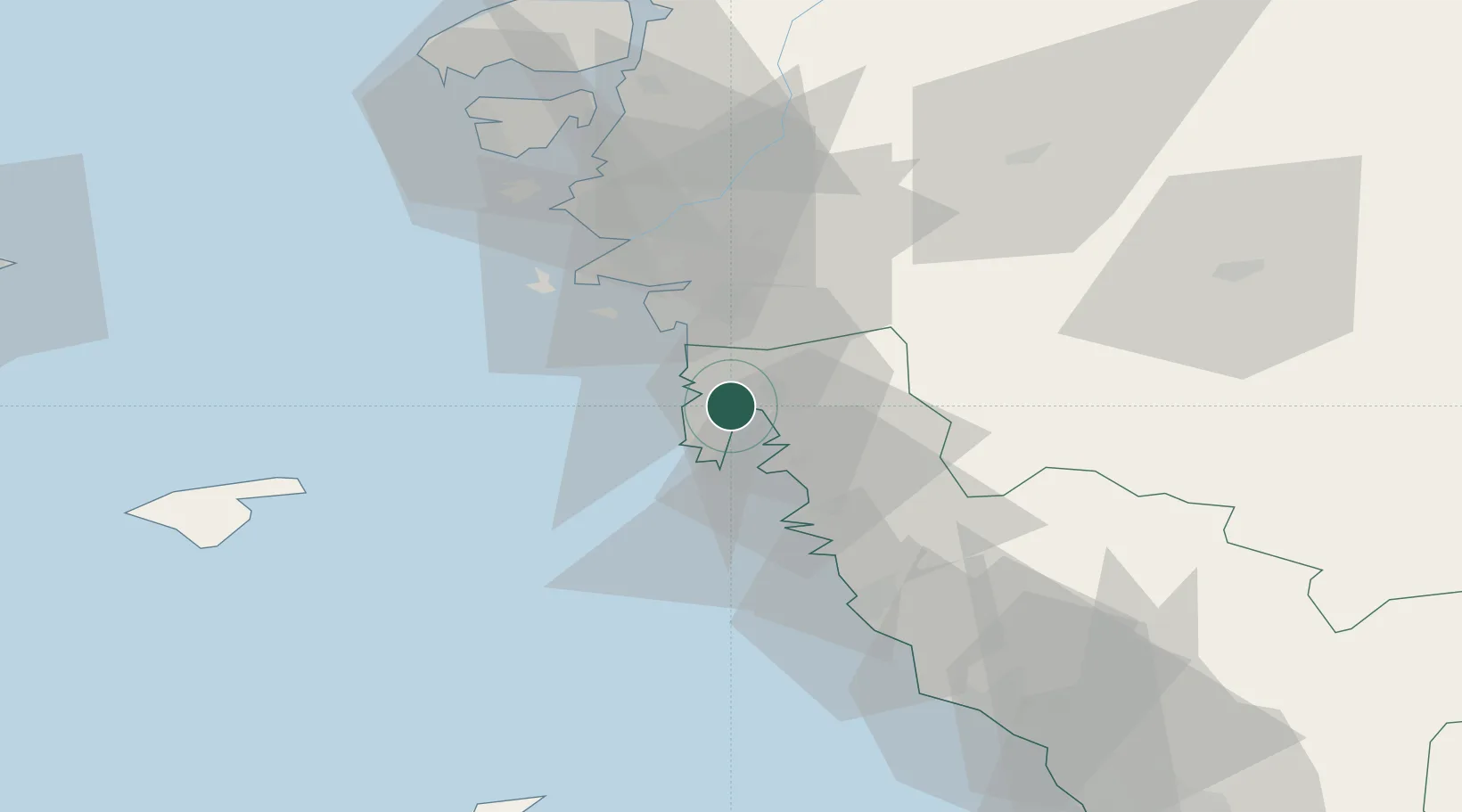
Populated place
Region
Halland
Population
463
Time zone
Europe/Stockholm
Elevation
15 m
Location
Nearby Logistics Neighbours
Cities
- 1Kungsbacka5 km
- 2Onsala6 km
- 3Kullavik8 km
- 4Vrångö17 km
- 5Frillesås19 km
Ports
- 1Goteborg27 km
- 2Varberg42 km
- 3Marstrand53 km
- 4Stenungsund69 km
- 5Falkenberg71 km
Airports
- 1Göteborg Landvetter Airport28 km
- 2Säve Airport35 km
- 3Læsø Airport64 km
- 4Anholt Airfield90 km
- 5Trollhättan-Vänersborg Airport97 km
Trade Zones
DatabookThe Record of Consolidated Knowledge
Sweden beyond logistics?