Transport Functions
Multimodal
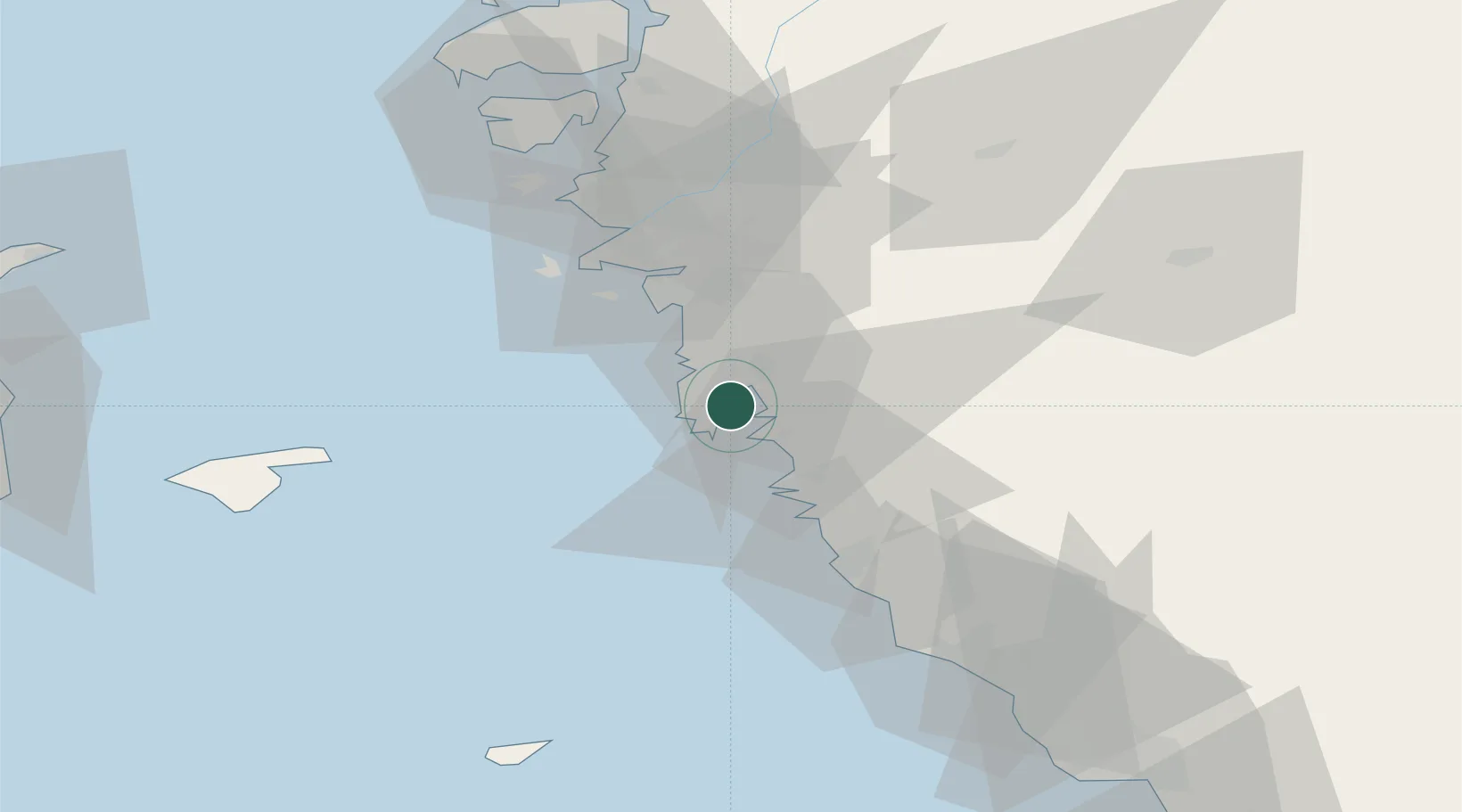
Hub Profile
Place type
Populated place
Region
Halland
Population
12,275
Time zone
Europe/Stockholm
Elevation
34 m
Location
Nearby Logistics Neighbours
Cities
- 1Heberg6 km
- 2Kungsbacka8 km
- 3Kullavik14 km
- 4Frillesås14 km
- 5Ringhals19 km
Ports
- 1Goteborg33 km
- 2Varberg37 km
- 3Marstrand58 km
- 4Falkenberg65 km
- 5Nykobing (Mor)73 km
Airports
- 1Göteborg Landvetter Airport32 km
- 2Säve Airport41 km
- 3Læsø Airport63 km
- 4Anholt Airfield85 km
- 5Halmstad Airport94 km
Trade Zones
DatabookThe Record of Consolidated Knowledge
Sweden beyond logistics?