Transport Functions
Rail
Road
Multimodal
Hub Profile
Place type
Populated place
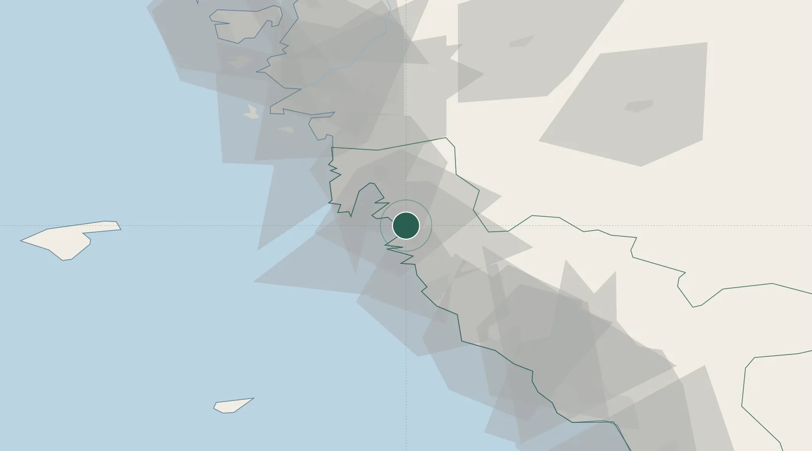
Region
Halland
Population
2,832
Time zone
Europe/Stockholm
Elevation
14 m
Location
Nearby Logistics Neighbours
Cities
- 1Väröbacka8 km
- 2Ringhals9 km
- 3Onsala14 km
- 4Kungsbacka19 km
- 5Heberg19 km
Ports
- 1Varberg23 km
- 2Goteborg46 km
- 3Falkenberg52 km
- 4Nykobing (Mor)64 km
- 5Marstrand72 km
Airports
- 1Göteborg Landvetter Airport39 km
- 2Säve Airport54 km
- 3Læsø Airport70 km
- 4Anholt Airfield78 km
- 5Halmstad Airport80 km
Trade Zones
DatabookThe Record of Consolidated Knowledge
Sweden beyond logistics?