Transport Functions
Port
Hub Profile
Region
AB
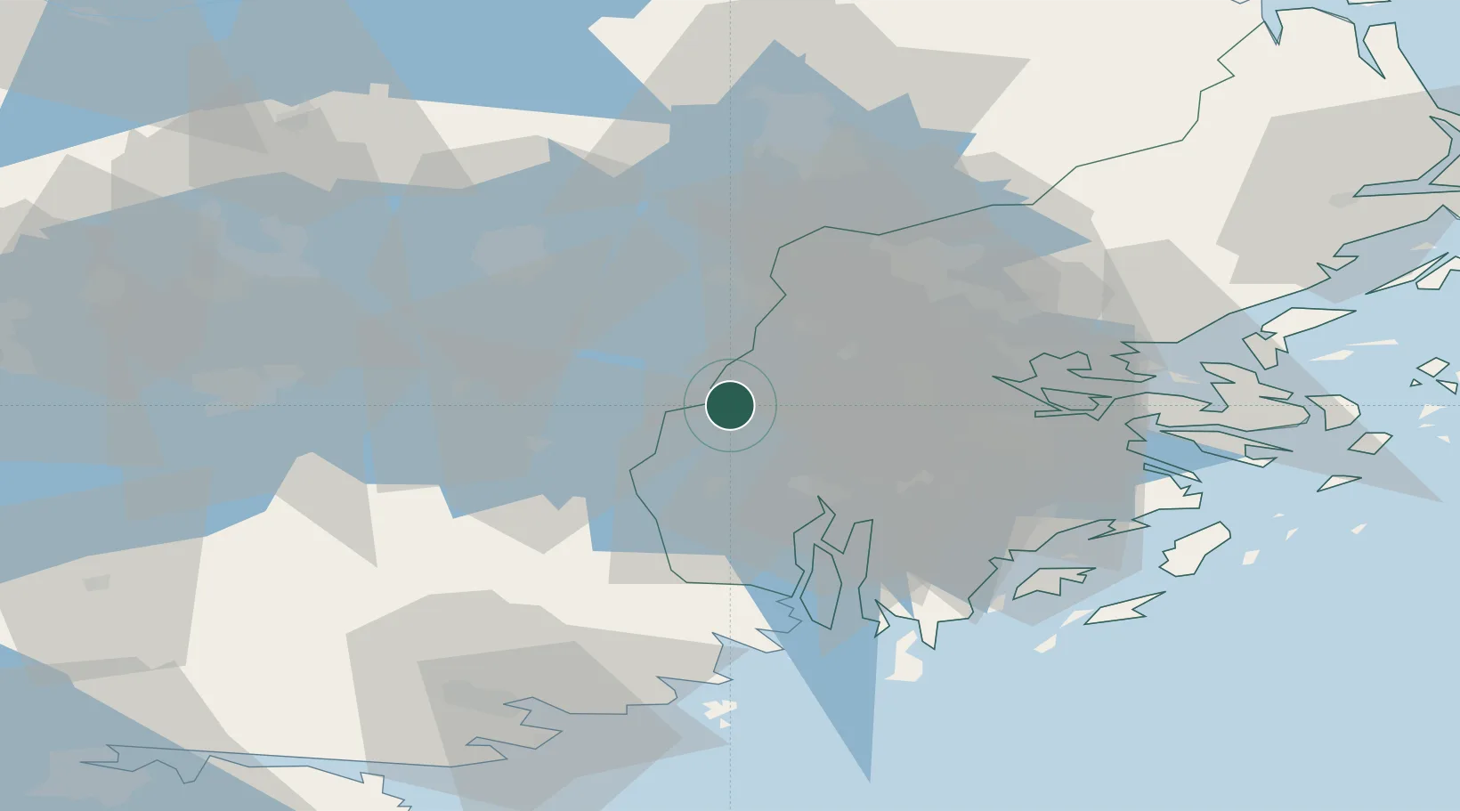
Location
Nearby Logistics Neighbours
Cities
- 1Löten9 km
- 2Underås10 km
- 3Ön14 km
- 4Järfälla22 km
- 5Kalmarsand23 km
Ports
- 1Sodertalje21 km
- 2Stockholm32 km
- 3Gustavsberg51 km
- 4Nynashamn57 km
- 5Vasteras61 km
Airports
- 1Stockholm-Bromma Airport26 km
- 2Stockholm-Arlanda Airport42 km
- 3Eskilstuna Airport44 km
- 4Stockholm Västerås Airport55 km
- 5Stockholm Skavsta Airport70 km
Trade Zones
- 1Stockholm Free Zone36 km
- 2Jönköping Free Zone264 km
- 3Turku Free Zone290 km
- 4Freeport of Hanko309 km
- 5Free port of Ventspils320 km
DatabookThe Record of Consolidated Knowledge
Sweden beyond logistics?