UN/LOCODE hub · Sweden
SELOT

Löten

59.4167°, 17.5833°
1
Transport functions

Transport Functions

Port
UN/LOCODE

Hub Profile

Place type
Populated place
GeoNames
Region
Gävleborg
GeoNames
Time zone
Europe/Stockholm
GeoNames
Elevation
75 m
GeoNames

Location

Location of SELOT
Natural Earth 10m (public domain) · Gävleborg · SELOT · 59.42, 17.58GoogleOSMYandex

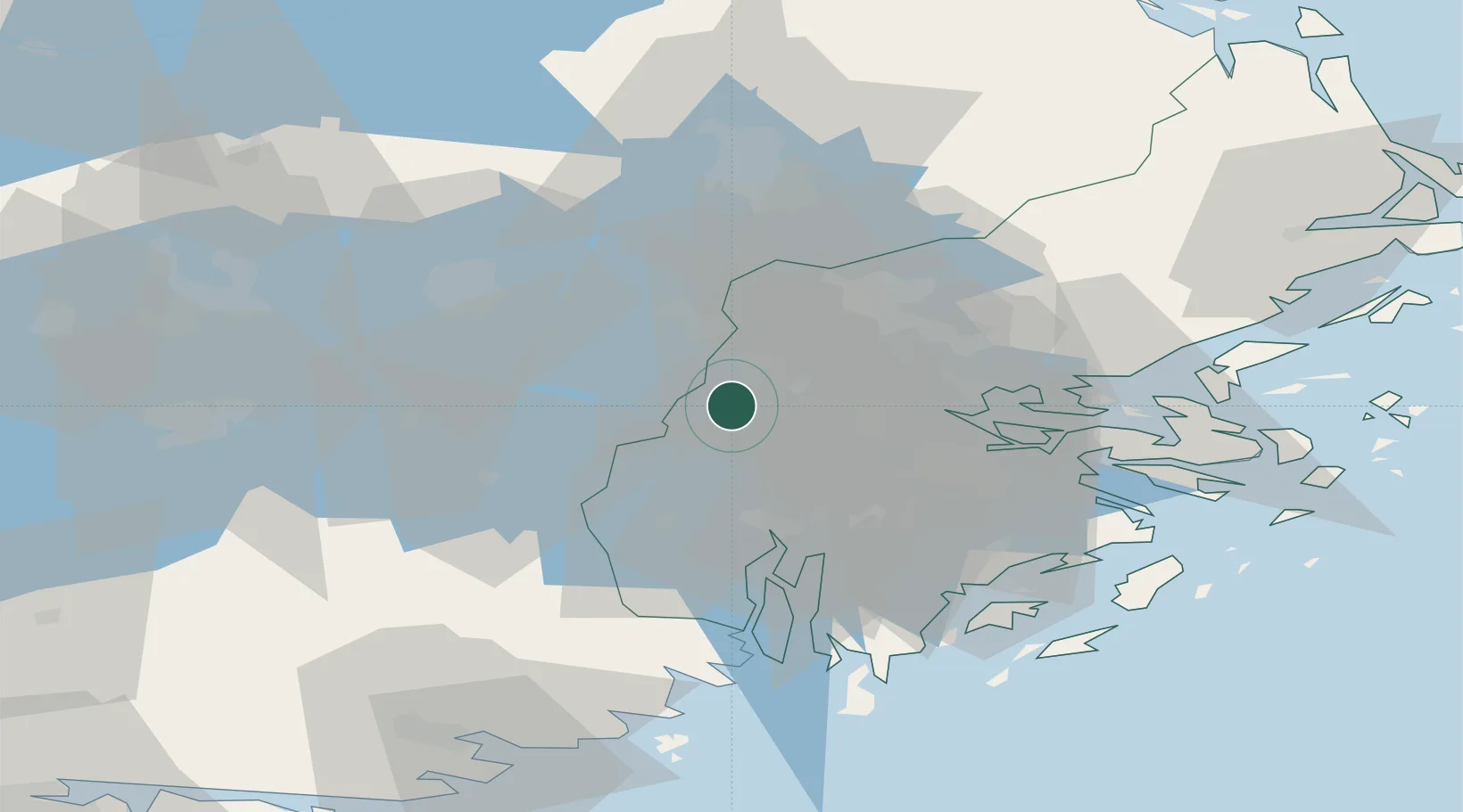
Nearby Logistics Neighbours

Cities
  1. 1Hässelbyverket/Stockholm9 km
  2. 2Ön13 km
  3. 3Kalmarsand15 km
  4. 4Järfälla16 km
  5. 5Underås17 km
Nearest neighbours — logibook spatial index (haversine) over the source coordinates
Ports
  1. 1Sodertalje26 km
  2. 2Stockholm28 km
  3. 3Gustavsberg47 km
  4. 4Nynashamn62 km
  5. 5Vasteras62 km
Nearest neighbours — logibook spatial index (haversine) over the source coordinates
Airports
  1. 1Stockholm-Bromma Airport21 km
  2. 2Stockholm-Arlanda Airport32 km
  3. 3Eskilstuna Airport50 km
  4. 4Stockholm Västerås Airport57 km
  5. 5Stockholm Skavsta Airport80 km
Nearest neighbours — logibook spatial index (haversine) over the source coordinates
Trade Zones
  1. 1Stockholm Free Zone31 km
  2. 2Jönköping Free Zone273 km
  3. 3Turku Free Zone282 km
  4. 4Freeport of Hanko302 km
  5. 5Free port of Ventspils321 km
Nearest neighbours — logibook spatial index (haversine) over the source coordinates
DatabookThe Record of Consolidated Knowledge
Sweden beyond logistics?
Browse databook

All Sources

LocationsUN/LOCODE
UN/LOCODE — free
Portsthe NGA World Port Index
Public domain (US gov)
AirportsOurAirports
Public domain
Trade Zonesthe World Bank SEZ database
CC BY 4.0
Trade ZonesOpen Zone Map
CC BY
← Sweden locations