Transport Functions
Port
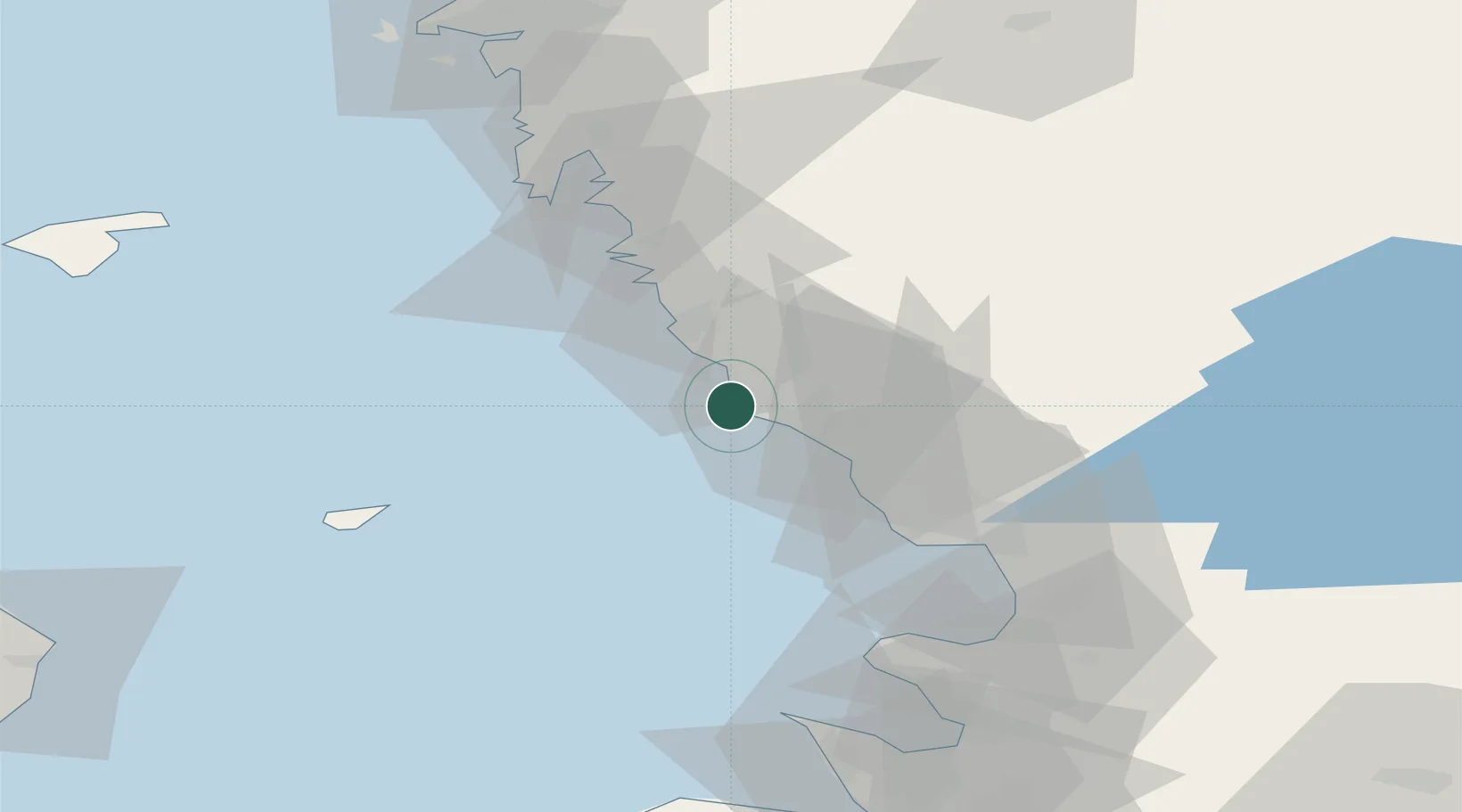
Hub Profile
Place type
Populated place
Region
Halland
Population
1,082
Time zone
Europe/Stockholm
Location
Nearby Logistics Neighbours
Cities
- 1Langas8 km
- 2Falkenberg11 km
- 3Träslövsläge14 km
- 4Nygård16 km
- 5Slöinge22 km
Ports
- 1Falkenberg9 km
- 2Varberg21 km
- 3Nykobing (Mor)35 km
- 4Halmstad43 km
- 5Hoganas83 km
Airports
- 1Halmstad Airport39 km
- 2Anholt Airfield55 km
- 3Ängelholm-Helsingborg Airport77 km
- 4Göteborg Landvetter Airport81 km
- 5Læsø Airport90 km
Trade Zones
DatabookThe Record of Consolidated Knowledge
Sweden beyond logistics?