Transport Functions
Multimodal
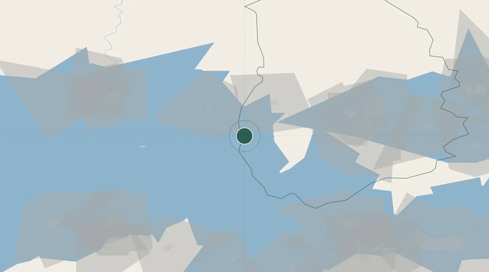
Hub Profile
Place type
Populated place
Region
Örebro
Time zone
Europe/Stockholm
Elevation
102 m
Location
Nearby Logistics Neighbours
Cities
- 1Mullhyttan19 km
- 2Otterbäcken26 km
- 3Kristinehamn28 km
- 4Vintrosa37 km
- 5Åsbro42 km
Ports
- 1Norrkoping122 km
- 2Vasteras137 km
- 3Nykoping158 km
- 4Oxelosund167 km
- 5Sodertalje188 km
Airports
- 1Karlskoga Airport27 km
- 2Örebro Airport41 km
- 3Karlstad Airport68 km
- 4Skövde Airport77 km
- 5Råda Air Base102 km
Trade Zones
DatabookThe Record of Consolidated Knowledge
Sweden beyond logistics?