Transport Functions
Rail
Road
Hub Profile
Place type
Populated place
Region
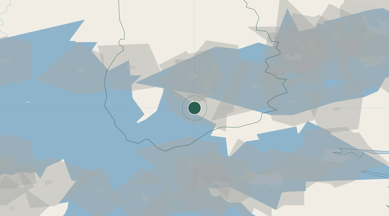
Örebro
Population
1,321
Time zone
Europe/Stockholm
Elevation
126 m
Location
Nearby Logistics Neighbours
Cities
- 1Pålsboda19 km
- 2Zinkgruvan21 km
- 3Hammar21 km
- 4Mullhyttan27 km
- 5Kilsmo28 km
Ports
- 1Norrkoping81 km
- 2Vasteras109 km
- 3Nykoping116 km
- 4Oxelosund125 km
- 5Sodertalje150 km
Airports
- 1Örebro Airport25 km
- 2Karlskoga Airport50 km
- 3Malmen Air Base72 km
- 4Linköping City Airport76 km
- 5Norrköping Airport83 km
Trade Zones
DatabookThe Record of Consolidated Knowledge
Sweden beyond logistics?