Medium airport · Sweden
Skövde AirportESGR
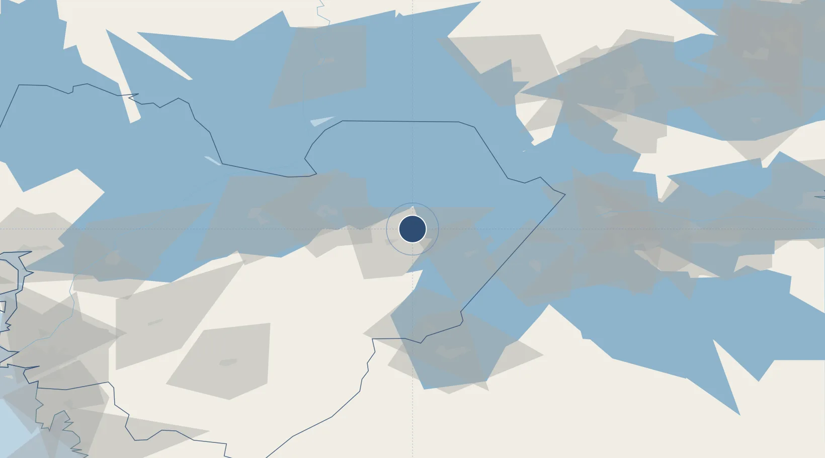
58.4564°, 13.9727°
5,696 ft
Longest runway
1
Runways
324 ft
Elevation
Runway & Layout

Radio Frequencies
AFIS
122.325 MHz
Runways · 1
| Runway | Dimensions | Surface | True heading | Lit |
|---|---|---|---|---|
| 01/19 | 5,696 × 98ft | Asphalt | 016° | ✓ |
Airport Specifications
IATA code
KVB
ICAO code
ESGR
Airport class
Medium airport
Scheduled service
No
Runway surface
Asphalt
Served city
Skövde
Location
Nearby Logistics Neighbours
Airports
- 1Råda Air Base54 km
- 2Såtenäs Air Base73 km
- 3Jönköping Airport78 km
- 4Malmen Air Base91 km
- 5Trollhättan-Vänersborg Airport96 km
Ports
- 1Uddevalla123 km
- 2Stenungsund134 km
- 3Goteborg145 km
- 4Lysekil149 km
- 5Brofjorden149 km
Trade Zones
DatabookThe Record of Consolidated Knowledge
Sweden beyond logistics?