Transport Functions
Rail
Road
Multimodal
Hub Profile
Place type
Populated place
Region
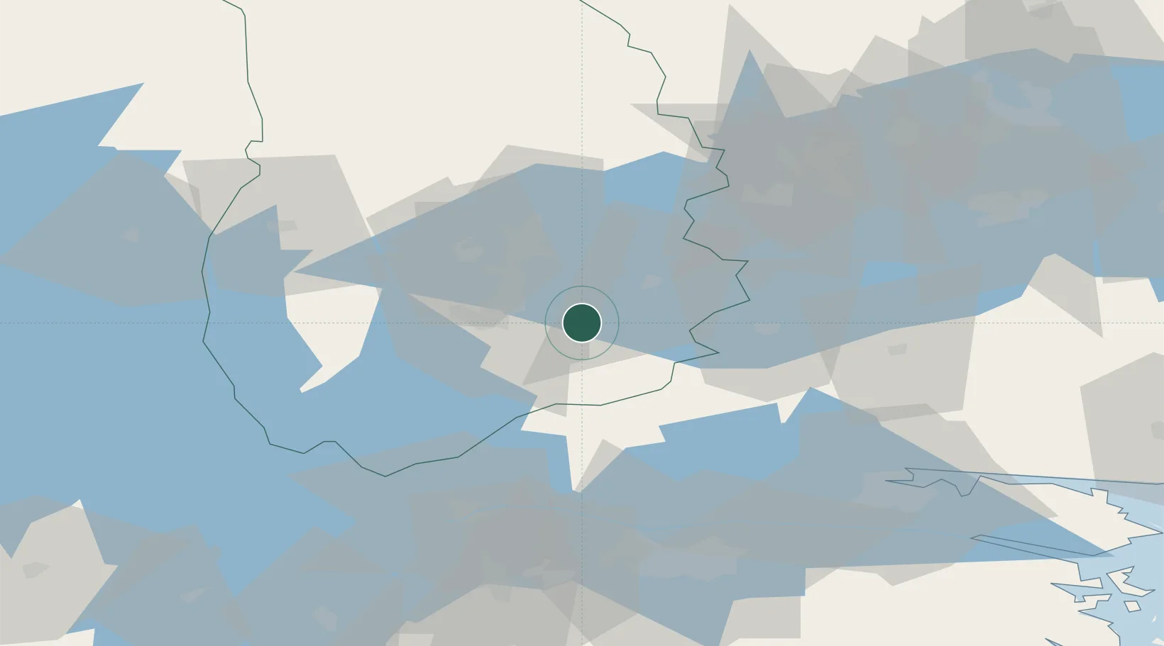
Örebro
Population
1,610
Time zone
Europe/Stockholm
Elevation
94 m
Location
Nearby Logistics Neighbours
Cities
- 1Kilsmo10 km
- 2Åsbro19 km
- 3Vintrosa31 km
- 4Zinkgruvan32 km
- 5Ljusfallshammar33 km
Ports
- 1Norrkoping73 km
- 2Vasteras92 km
- 3Nykoping102 km
- 4Oxelosund111 km
- 5Sodertalje132 km
Airports
- 1Örebro Airport25 km
- 2Karlskoga Airport58 km
- 3Norrköping Airport74 km
- 4Malmen Air Base75 km
- 5Linköping City Airport76 km
Trade Zones
- 1Stockholm Free Zone160 km
- 2Jönköping Free Zone162 km
- 3Gothenburg Boundless Customs Warehouse256 km
- 4Free port of Ventspils406 km
- 5Freeport of Copenhagen- Nordhavn407 km
DatabookThe Record of Consolidated Knowledge
Sweden beyond logistics?