Transport Functions
Port
Rail
Road
Hub Profile
Place type
Provincial seat
Region
Värmland
Population
18,557
Time zone
Europe/Stockholm
Elevation
55 m
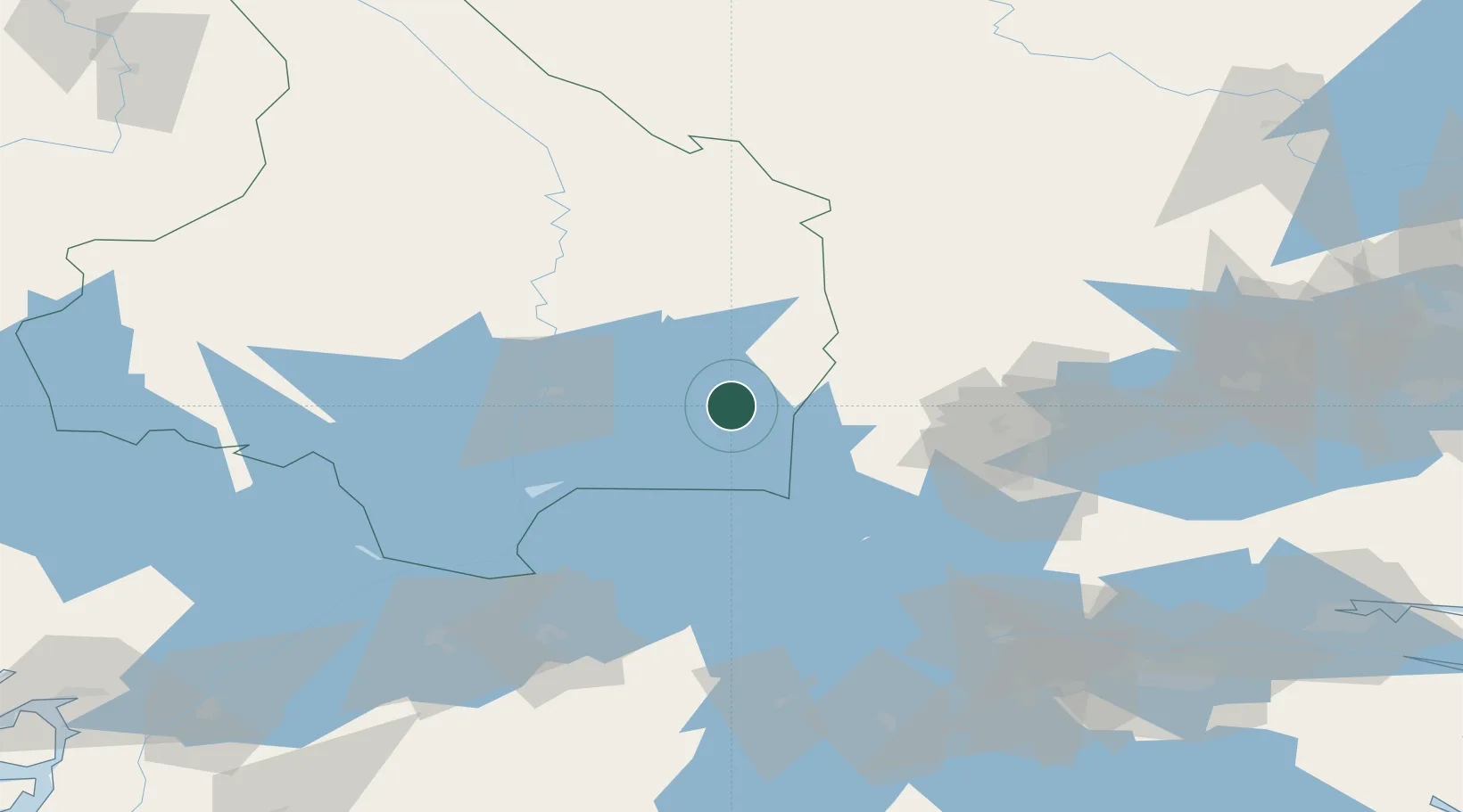
Location
Nearby Logistics Neighbours
Cities
- 1Åtorp28 km
- 2Skattkärr29 km
- 3Karlstad35 km
- 4Mullhyttan38 km
- 5Skoghall39 km
Ports
- 1Vasteras141 km
- 2Norrkoping146 km
- 3Nykoping178 km
- 4Oxelosund187 km
- 5Sodertalje202 km
Airports
- 1Karlskoga Airport22 km
- 2Karlstad Airport46 km
- 3Örebro Airport54 km
- 4Hagfors Airport82 km
- 5Skövde Airport98 km
Trade Zones
DatabookThe Record of Consolidated Knowledge
Sweden beyond logistics?