Transport Functions
Port
Rail
Road
Hub Profile
Place type
Populated place
Region
Örebro
Time zone
Europe/Stockholm
Elevation
69 m
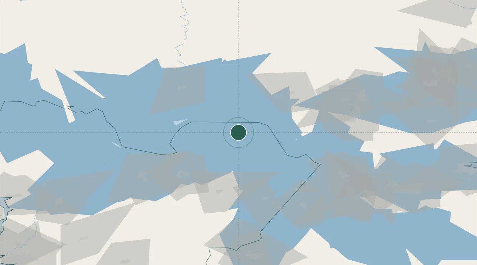
Location
Nearby Logistics Neighbours
Cities
- 1Åtorp26 km
- 2Mariestad31 km
- 3Kristinehamn43 km
- 4Mullhyttan43 km
- 5Hönsäter50 km
Ports
- 1Norrkoping131 km
- 2Vasteras161 km
- 3Nykoping173 km
- 4Oxelosund180 km
- 5Verkeback199 km
Airports
- 1Karlskoga Airport51 km
- 2Skövde Airport55 km
- 3Örebro Airport65 km
- 4Karlstad Airport68 km
- 5Råda Air Base76 km
Trade Zones
DatabookThe Record of Consolidated Knowledge
Sweden beyond logistics?