UN/LOCODE hub · Sweden
SEPIX

Pixbo/Härryda

57.6500°, 12.0833°
2
Transport functions

Transport Functions

Rail
Road
UN/LOCODE

Hub Profile

Region
O
GeoNames

Location

Location of SEPIX
Natural Earth 10m (public domain) · O · SEPIX · 57.65, 12.08GoogleOSMYandex

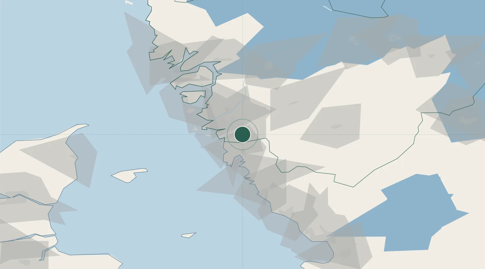
Nearby Logistics Neighbours

Cities
  1. 1Mölnlycke3 km
  2. 2Landvetter8 km
  3. 3Angered15 km
  4. 4Göteborg15 km
  5. 5Kullavik16 km
Nearest neighbours — logibook spatial index (haversine) over the source coordinates
Ports
  1. 1Goteborg10 km
  2. 2Marstrand39 km
  3. 3Stenungsund51 km
  4. 4Varberg61 km
  5. 5Uddevalla77 km
Nearest neighbours — logibook spatial index (haversine) over the source coordinates
Airports
  1. 1Göteborg Landvetter Airport12 km
  2. 2Säve Airport19 km
  3. 3Trollhättan-Vänersborg Airport76 km
  4. 4Læsø Airport77 km
  5. 5Såtenäs Air Base94 km
Nearest neighbours — logibook spatial index (haversine) over the source coordinates
Trade Zones
  1. 1Gothenburg Boundless Customs Warehouse17 km
  2. 2Jönköping Free Zone120 km
  3. 3Freeport of Copenhagen- Nordhavn218 km
  4. 4MTS Malmö Transport and Spedition236 km
  5. 5Freeport of Kiel387 km
Nearest neighbours — logibook spatial index (haversine) over the source coordinates
DatabookThe Record of Consolidated Knowledge
Sweden beyond logistics?
Browse databook

All Sources

LocationsUN/LOCODE
UN/LOCODE — free
Portsthe NGA World Port Index
Public domain (US gov)
AirportsOurAirports
Public domain
Trade Zonesthe World Bank SEZ database
CC BY 4.0
Trade ZonesOpen Zone Map
CC BY
← Sweden locations