UN/LOCODE hub · Sweden
SEGOR

Gorsingeholm

59.3500°, 17.0500°
1
Transport functions

Transport Functions

Port
UN/LOCODE

Hub Profile

Region
D
GeoNames

Location

Location of SEGOR
Natural Earth 10m (public domain) · D · SEGOR · 59.35, 17.05GoogleOSMYandex

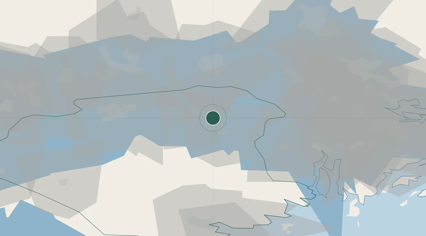
Nearby Logistics Neighbours

Cities
  1. 1Malmby2 km
  2. 2Strängnäs4 km
  3. 3Ön23 km
  4. 4Hässelbyverket/Stockholm25 km
  5. 5Underås29 km
Nearest neighbours — logibook spatial index (haversine) over the source coordinates
Ports
  1. 1Sodertalje39 km
  2. 2Vasteras41 km
  3. 3Stockholm57 km
  4. 4Nykoping67 km
  5. 5Nynashamn72 km
Nearest neighbours — logibook spatial index (haversine) over the source coordinates
Airports
  1. 1Eskilstuna Airport19 km
  2. 2Stockholm Västerås Airport36 km
  3. 3Stockholm-Bromma Airport51 km
  4. 4Stockholm-Arlanda Airport60 km
  5. 5Stockholm Skavsta Airport63 km
Nearest neighbours — logibook spatial index (haversine) over the source coordinates
Trade Zones
  1. 1Stockholm Free Zone60 km
  2. 2Jönköping Free Zone246 km
  3. 3Turku Free Zone313 km
  4. 4Freeport of Hanko333 km
  5. 5Free port of Ventspils339 km
Nearest neighbours — logibook spatial index (haversine) over the source coordinates
DatabookThe Record of Consolidated Knowledge
Sweden beyond logistics?
Browse databook

All Sources

LocationsUN/LOCODE
UN/LOCODE — free
Portsthe NGA World Port Index
Public domain (US gov)
AirportsOurAirports
Public domain
Trade Zonesthe World Bank SEZ database
CC BY 4.0
Trade ZonesOpen Zone Map
CC BY
← Sweden locations