Transport Functions
Multimodal
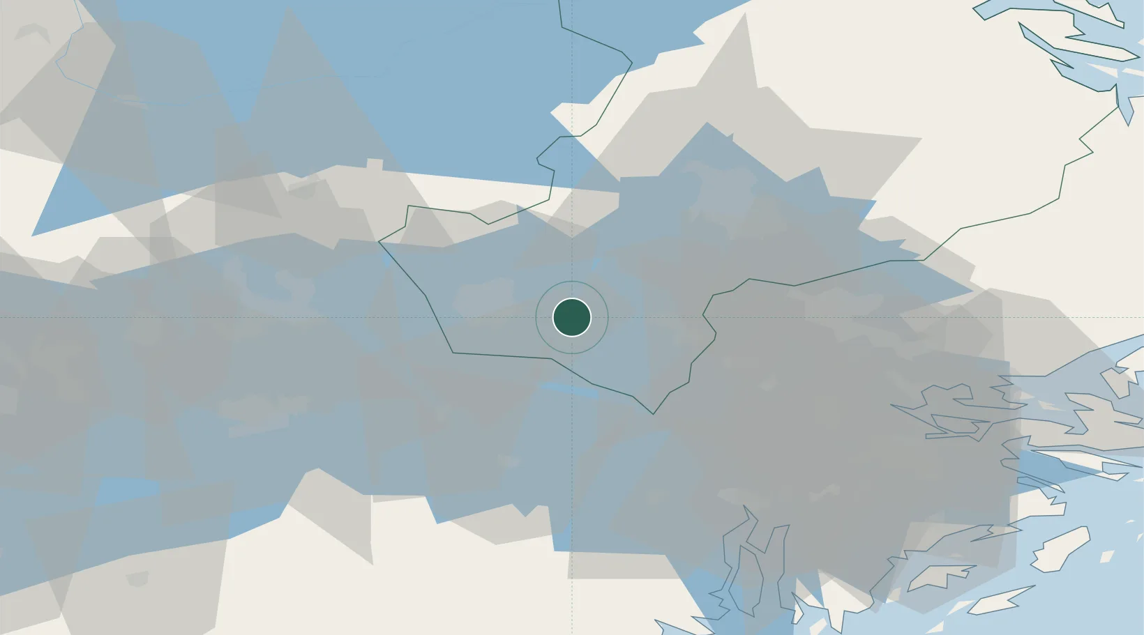
Hub Profile
Place type
Populated place
Region
Uppsala
Population
1,028
Time zone
Europe/Stockholm
Elevation
27 m
Location
Nearby Logistics Neighbours
Cities
- 1Enköping10 km
- 2Bålsta15 km
- 3Ön18 km
- 4Kalmarsand18 km
- 5Sigtuna26 km
Ports
- 1Vasteras39 km
- 2Sodertalje53 km
- 3Stockholm55 km
- 4Gustavsberg72 km
- 5Hallstavik89 km
Airports
- 1Stockholm Västerås Airport35 km
- 2Stockholm-Arlanda Airport38 km
- 3Eskilstuna Airport43 km
- 4Stockholm-Bromma Airport49 km
- 5Stockholm Skavsta Airport94 km
Trade Zones
- 1Stockholm Free Zone57 km
- 2Jönköping Free Zone275 km
- 3Turku Free Zone291 km
- 4Freeport of Hanko317 km
- 5Free port of Ventspils350 km
DatabookThe Record of Consolidated Knowledge
Sweden beyond logistics?