UN/LOCODE hub · Sweden
SEOEN

Ön

59.4667°, 17.3833°
1
Transport functions

Transport Functions

Port
UN/LOCODE

Hub Profile

Place type
Populated place
GeoNames
Region
Uppsala
GeoNames
Time zone
Europe/Stockholm
GeoNames
Elevation
3 m
GeoNames

Location

Location of SEOEN
Natural Earth 10m (public domain) · Uppsala · SEOEN · 59.47, 17.38GoogleOSMYandex

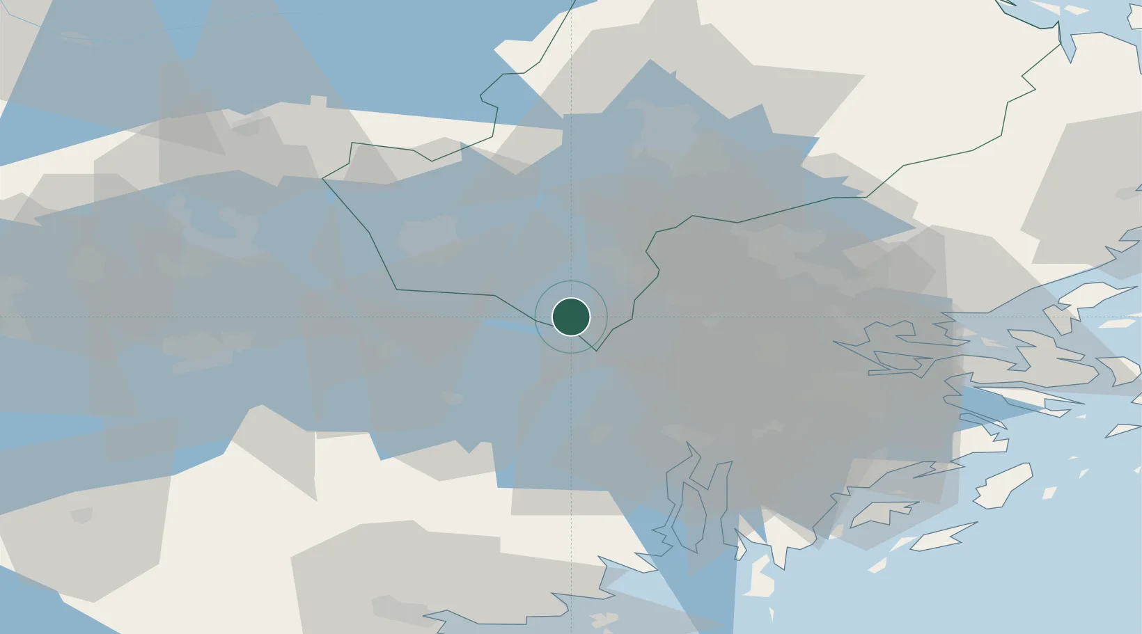
Nearby Logistics Neighbours

Cities
  1. 1Löten13 km
  2. 2Kalmarsand13 km
  3. 3Hässelbyverket/Stockholm14 km
  4. 4Bålsta15 km
  5. 5Grillby18 km
Nearest neighbours — logibook spatial index (haversine) over the source coordinates
Ports
  1. 1Sodertalje35 km
  2. 2Stockholm41 km
  3. 3Vasteras50 km
  4. 4Gustavsberg59 km
  5. 5Nynashamn71 km
Nearest neighbours — logibook spatial index (haversine) over the source coordinates
Airports
  1. 1Stockholm-Bromma Airport34 km
  2. 2Stockholm-Arlanda Airport37 km
  3. 3Eskilstuna Airport40 km
  4. 4Stockholm Västerås Airport44 km
  5. 5Stockholm Skavsta Airport80 km
Nearest neighbours — logibook spatial index (haversine) over the source coordinates
Trade Zones
  1. 1Stockholm Free Zone43 km
  2. 2Jönköping Free Zone268 km
  3. 3Turku Free Zone290 km
  4. 4Freeport of Hanko312 km
  5. 5Free port of Ventspils333 km
Nearest neighbours — logibook spatial index (haversine) over the source coordinates
DatabookThe Record of Consolidated Knowledge
Sweden beyond logistics?
Browse databook

All Sources

LocationsUN/LOCODE
UN/LOCODE — free
Portsthe NGA World Port Index
Public domain (US gov)
AirportsOurAirports
Public domain
Trade Zonesthe World Bank SEZ database
CC BY 4.0
Trade ZonesOpen Zone Map
CC BY
← Sweden locations