Transport Functions
Rail
Road
Hub Profile
Place type
Populated place
Region
Södermanland
Time zone
Europe/Stockholm
Elevation
26 m
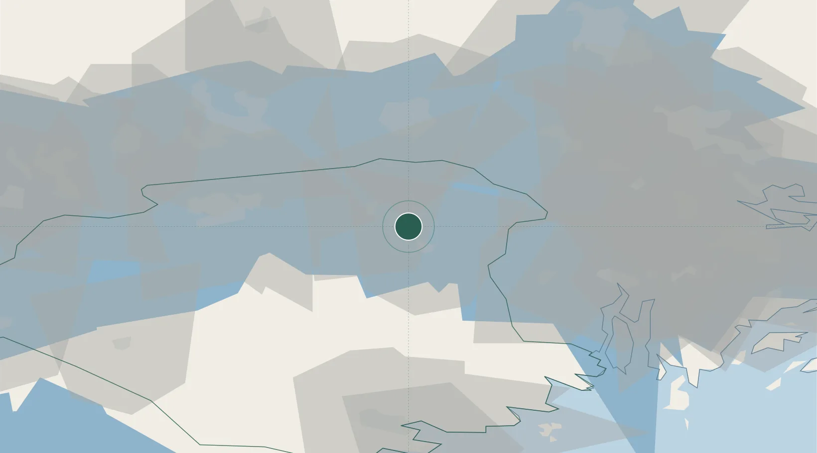
Location
Nearby Logistics Neighbours
Cities
- 1Gorsingeholm2 km
- 2Strängnäs6 km
- 3Ön24 km
- 4Hässelbyverket/Stockholm25 km
- 5Underås28 km
Ports
- 1Sodertalje38 km
- 2Vasteras42 km
- 3Stockholm57 km
- 4Nykoping65 km
- 5Nynashamn71 km
Airports
- 1Eskilstuna Airport20 km
- 2Stockholm Västerås Airport37 km
- 3Stockholm-Bromma Airport51 km
- 4Stockholm-Arlanda Airport61 km
- 5Stockholm Skavsta Airport61 km
Trade Zones
- 1Stockholm Free Zone60 km
- 2Jönköping Free Zone244 km
- 3Turku Free Zone313 km
- 4Freeport of Hanko333 km
- 5Free port of Ventspils338 km
DatabookThe Record of Consolidated Knowledge
Sweden beyond logistics?