UN/LOCODE hub · Sweden
SEVDL

Vendelsö

59.2000°, 18.2000°
1
Transport functions

Transport Functions

Multimodal
UN/LOCODE

Hub Profile

Place type
Populated place
GeoNames
Region
Stockholm
GeoNames
Time zone
Europe/Stockholm
GeoNames
Elevation
43 m
GeoNames

Location

Location of SEVDL
Natural Earth 10m (public domain) · Stockholm · SEVDL · 59.20, 18.20GoogleOSMYandex

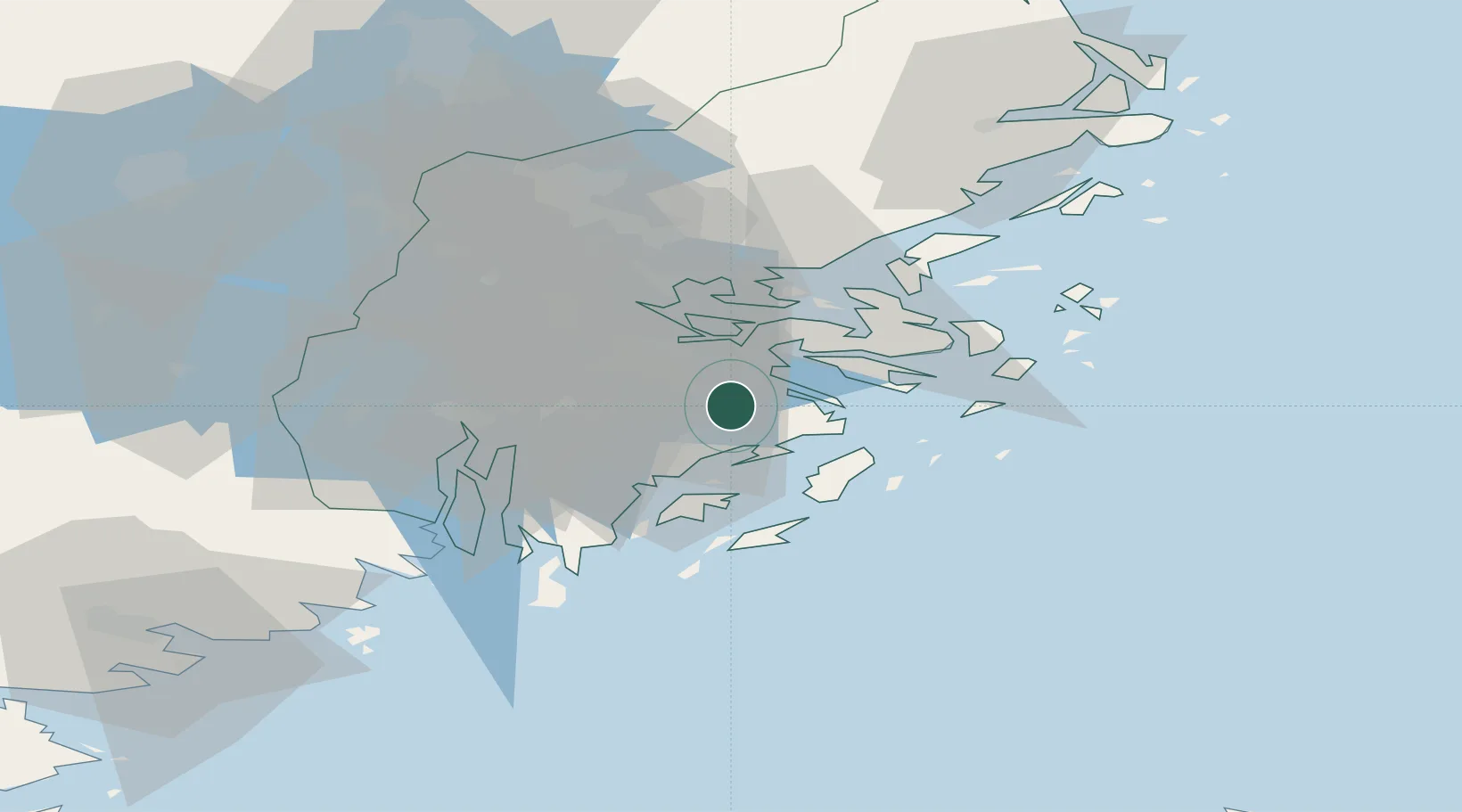
Nearby Logistics Neighbours

Cities
  1. 1Trangsund5 km
  2. 2Haninge5 km
  3. 3Stockholm7 km
  4. 4Österhaninge10 km
  5. 5Sickla12 km
Nearest neighbours — logibook spatial index (haversine) over the source coordinates
Ports
  1. 1Gustavsberg17 km
  2. 2Stockholm17 km
  3. 3Sodertalje31 km
  4. 4Nynashamn36 km
  5. 5Nykoping84 km
Nearest neighbours — logibook spatial index (haversine) over the source coordinates
Airports
  1. 1Stockholm-Bromma Airport23 km
  2. 2Stockholm-Arlanda Airport52 km
  3. 3Eskilstuna Airport86 km
  4. 4Stockholm Skavsta Airport87 km
  5. 5Stockholm Västerås Airport99 km
Nearest neighbours — logibook spatial index (haversine) over the source coordinates
Trade Zones
  1. 1Stockholm Free Zone17 km
  2. 2Turku Free Zone264 km
  3. 3Freeport of Hanko273 km
  4. 4Free port of Ventspils279 km
  5. 5Jönköping Free Zone287 km
Nearest neighbours — logibook spatial index (haversine) over the source coordinates
DatabookThe Record of Consolidated Knowledge
Sweden beyond logistics?
Browse databook

All Sources

LocationsUN/LOCODE
UN/LOCODE — free
Portsthe NGA World Port Index
Public domain (US gov)
AirportsOurAirports
Public domain
Trade Zonesthe World Bank SEZ database
CC BY 4.0
Trade ZonesOpen Zone Map
CC BY
← Sweden locations