Transport Functions
Rail
Road
Multimodal
Hub Profile
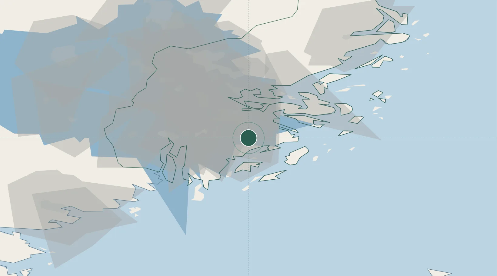
Place type
Populated place
Region
Stockholm
Population
74,968
Time zone
Europe/Stockholm
Elevation
67 m
Location
Nearby Logistics Neighbours
Cities
- 1Vendelsö5 km
- 2Österhaninge6 km
- 3Stockholm7 km
- 4Trangsund7 km
- 5Berga Örlogsskolor9 km
Ports
- 1Stockholm19 km
- 2Gustavsberg22 km
- 3Sodertalje28 km
- 4Nynashamn31 km
- 5Nykoping79 km
Airports
- 1Stockholm-Bromma Airport24 km
- 2Stockholm-Arlanda Airport55 km
- 3Stockholm Skavsta Airport82 km
- 4Eskilstuna Airport84 km
- 5Stockholm Västerås Airport97 km
Trade Zones
- 1Stockholm Free Zone20 km
- 2Turku Free Zone269 km
- 3Freeport of Hanko278 km
- 4Free port of Ventspils279 km
- 5Jönköping Free Zone282 km
DatabookThe Record of Consolidated Knowledge
Sweden beyond logistics?