Transport Functions
Port
Road
Hub Profile
Region
Y
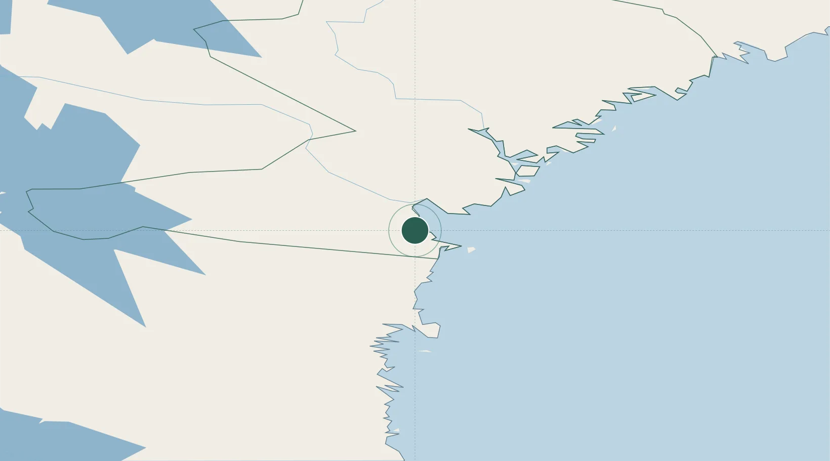
Location
Nearby Logistics Neighbours
Ports
- 1Sundsvall6 km
- 2Vivstavarv17 km
- 3Soraker20 km
- 4Harnosand45 km
- 5Stocka48 km
Airports
- 1Sundsvall-Härnösand Airport22 km
- 2Kramfors-Sollefteå Höga Kusten Airport82 km
- 3Söderhamn Airport120 km
- 4Örnsköldsvik Airport146 km
- 5Sveg Airport155 km
Trade Zones
- 1Turku Free Zone333 km
- 2Stockholm Free Zone334 km
- 3Freeport of Hanko407 km
- 4Paldiski Free Zone494 km
- 5Oulu Port Free Warehouse Area495 km
DatabookThe Record of Consolidated Knowledge
Sweden beyond logistics?