Transport Functions
Port
Road
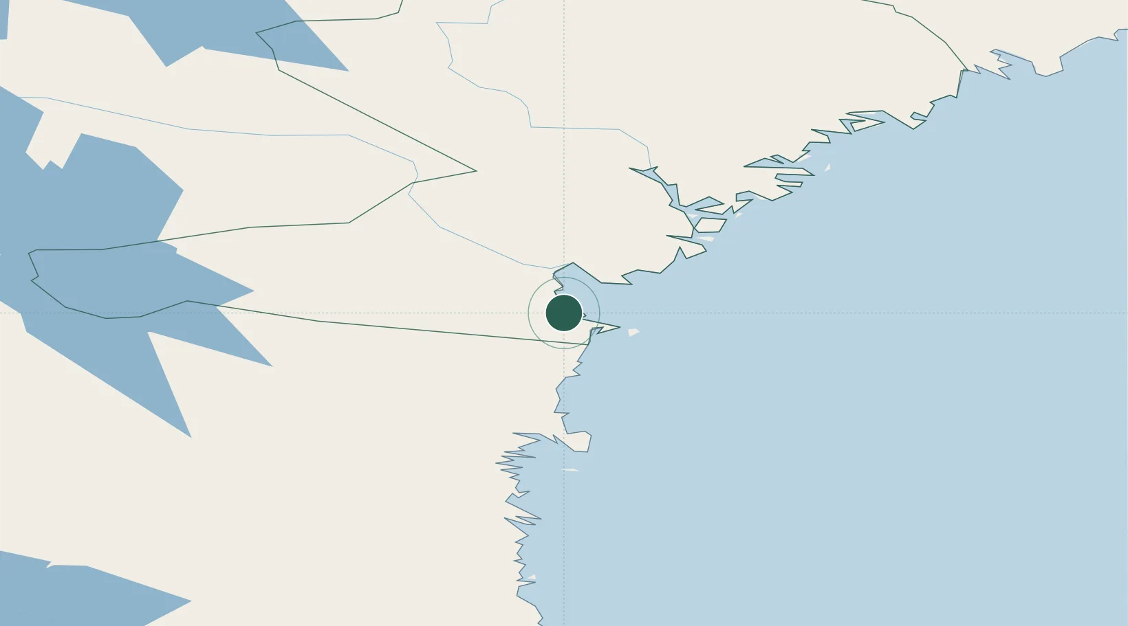
Hub Profile
Place type
Populated place
Region
Västernorrland
Population
818
Time zone
Europe/Stockholm
Location
Nearby Logistics Neighbours
Cities
- 1Stockviksverken4 km
- 2Ortviken9 km
- 3Tunadal11 km
- 4Sundsvall12 km
- 5Sundsbruk17 km
Ports
- 1Stockvik4 km
- 2Sundsvall9 km
- 3Vivstavarv21 km
- 4Soraker23 km
- 5Stocka45 km
Airports
- 1Sundsvall-Härnösand Airport26 km
- 2Kramfors-Sollefteå Höga Kusten Airport86 km
- 3Söderhamn Airport116 km
- 4Örnsköldsvik Airport148 km
- 5Sveg Airport156 km
Trade Zones
- 1Turku Free Zone330 km
- 2Stockholm Free Zone331 km
- 3Freeport of Hanko404 km
- 4Paldiski Free Zone490 km
- 5Oulu Port Free Warehouse Area496 km
DatabookThe Record of Consolidated Knowledge
Sweden beyond logistics?