Transport Functions
Port
Hub Profile
Place type
Populated place
Region
Västernorrland
Time zone
Europe/Stockholm
Elevation
9 m
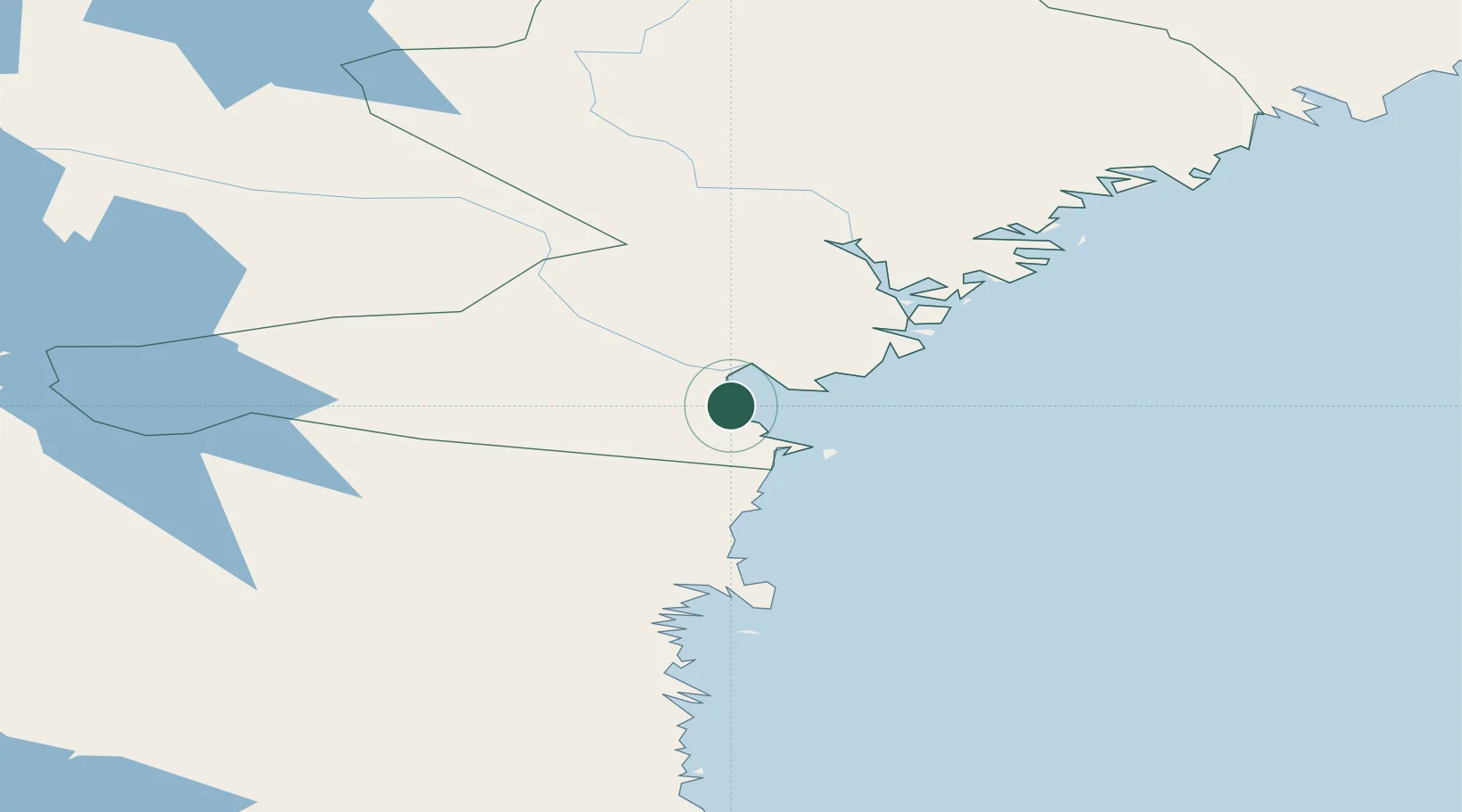
Location
Nearby Logistics Neighbours
Cities
- 1Tunadal2 km
- 2Sundsvall3 km
- 3Stockviksverken6 km
- 4Sundsbruk7 km
- 5Östrand9 km
Ports
- 1Sundsvall0 km
- 2Stockvik6 km
- 3Vivstavarv11 km
- 4Soraker15 km
- 5Harnosand41 km
Airports
- 1Sundsvall-Härnösand Airport17 km
- 2Kramfors-Sollefteå Höga Kusten Airport77 km
- 3Söderhamn Airport125 km
- 4Örnsköldsvik Airport141 km
- 5Sveg Airport156 km
Trade Zones
- 1Turku Free Zone337 km
- 2Stockholm Free Zone340 km
- 3Freeport of Hanko411 km
- 4Oulu Port Free Warehouse Area492 km
- 5Paldiski Free Zone497 km
DatabookThe Record of Consolidated Knowledge
Sweden beyond logistics?