Transport Functions
Port
Road
Airport
Hub Profile
Place type
Provincial seat
Region
Västernorrland
Population
57,606
Time zone
Europe/Stockholm
Elevation
26 m
Logistics facilities
1
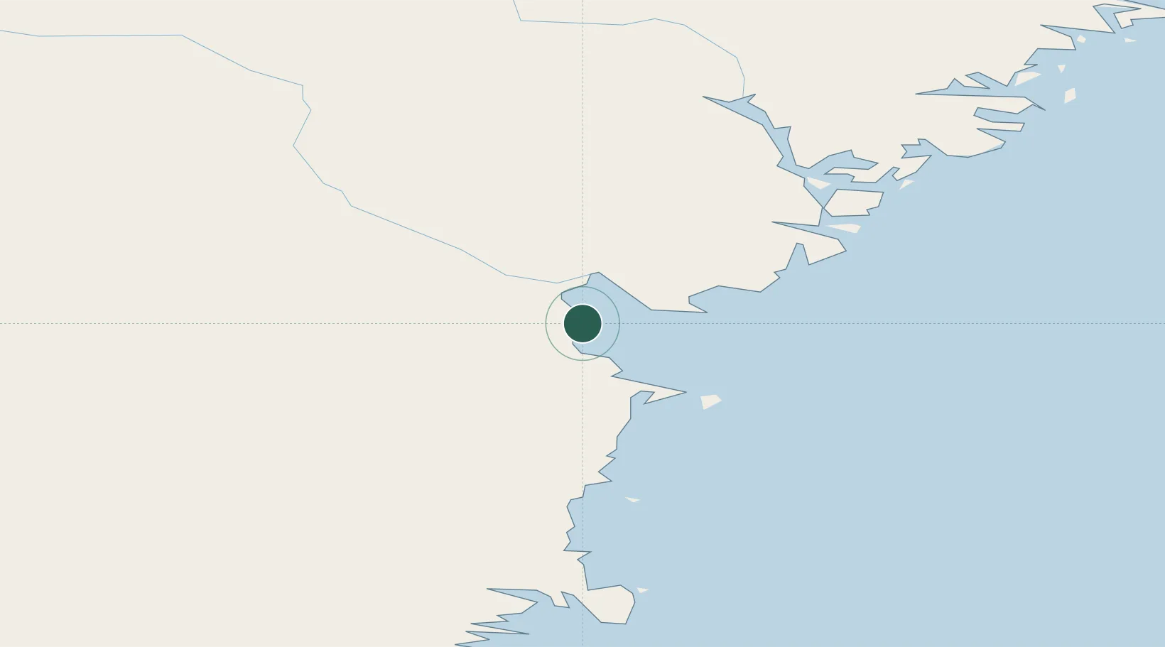
Location
Nearby Logistics Neighbours
Cities
- 1Tunadal1 km
- 2Ortviken3 km
- 3Sundsbruk5 km
- 4Östrand7 km
- 5Stockviksverken9 km
Ports
- 1Stockvik8 km
- 2Vivstavarv9 km
- 3Soraker12 km
- 4Harnosand38 km
- 5Utansjo49 km
Airports
- 1Sundsvall-Härnösand Airport14 km
- 2Kramfors-Sollefteå Höga Kusten Airport74 km
- 3Söderhamn Airport129 km
- 4Örnsköldsvik Airport138 km
- 5Sveg Airport159 km
Trade Zones
- 1Turku Free Zone337 km
- 2Stockholm Free Zone343 km
- 3Freeport of Hanko411 km
- 4Oulu Port Free Warehouse Area489 km
- 5Paldiski Free Zone498 km
DatabookThe Record of Consolidated Knowledge
Sweden beyond logistics?