Transport Functions
Multimodal
Hub Profile
Place type
Populated place
Region
Jämtland
Time zone
Europe/Stockholm
Elevation
192 m
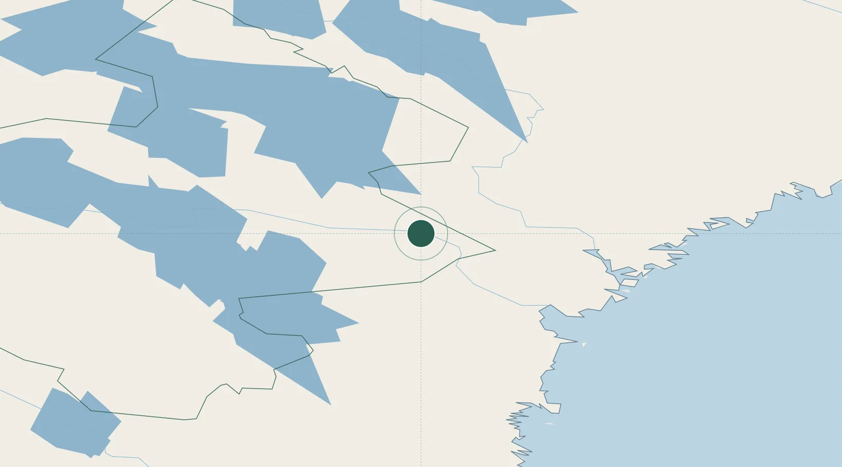
Location
Nearby Logistics Neighbours
Cities
- 1Kälarne21 km
- 2Gällö61 km
- 3Bräcke64 km
- 4Bollstabruk69 km
- 5Erikslund70 km
Ports
- 1Bollstabruk70 km
- 2Vaja71 km
- 3Kramfors76 km
- 4Gustavsvik84 km
- 5Vivstavarv88 km
Airports
- 1Kramfors-Sollefteå Höga Kusten Airport72 km
- 2Sundsvall-Härnösand Airport87 km
- 3Åre Östersund Airport93 km
- 4Örnsköldsvik Airport136 km
- 5Sveg Airport156 km
Trade Zones
- 1Turku Free Zone429 km
- 2Stockholm Free Zone431 km
- 3Oulu Port Free Warehouse Area486 km
- 4Freeport of Hanko505 km
- 5Paldiski Free Zone590 km
DatabookThe Record of Consolidated Knowledge
Sweden beyond logistics?