Transport Functions
Rail
Road
Multimodal
Hub Profile
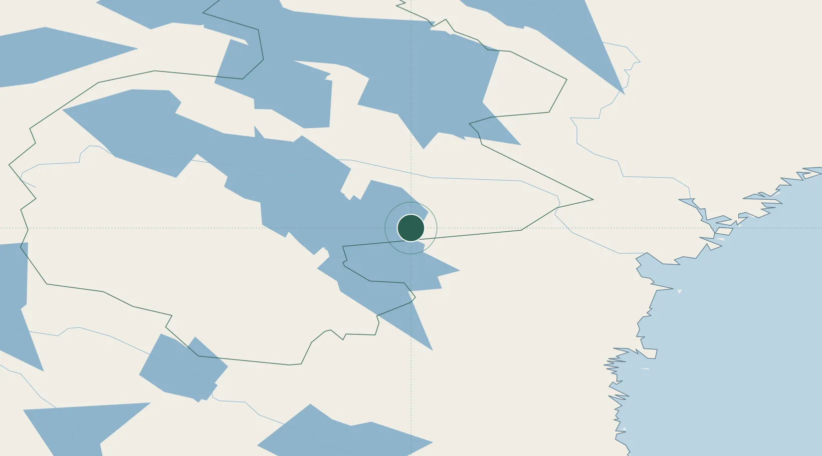
Place type
Populated place
Region
Jämtland
Time zone
Europe/Stockholm
Elevation
296 m
Location
Nearby Logistics Neighbours
Ports
- 1Vivstavarv103 km
- 2Sundsvall107 km
- 3Soraker110 km
- 4Stockvik111 km
- 5Bollstabruk119 km
Airports
- 1Åre Östersund Airport68 km
- 2Sveg Airport93 km
- 3Sundsvall-Härnösand Airport107 km
- 4Kramfors-Sollefteå Höga Kusten Airport124 km
- 5Söderhamn Airport187 km
Trade Zones
- 1Stockholm Free Zone405 km
- 2Turku Free Zone441 km
- 3Freeport of Hanko514 km
- 4Jönköping Free Zone559 km
- 5Gothenburg Boundless Customs Warehouse595 km
DatabookThe Record of Consolidated Knowledge
Sweden beyond logistics?