UN/LOCODE hub · Sweden
SEGAL

Gällö

62.9167°, 15.2333°
2
Transport functions

Transport Functions

Rail
Road
UN/LOCODE

Hub Profile

Region
Z
GeoNames

Location

Location of SEGAL
Natural Earth 10m (public domain) · Z · SEGAL · 62.92, 15.23GoogleOSMYandex

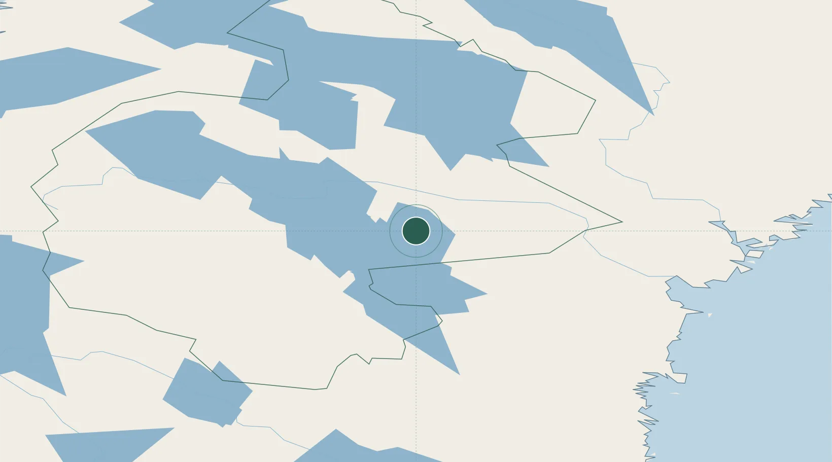
Nearby Logistics Neighbours

Cities
  1. 1Bräcke21 km
  2. 2Brunflo28 km
  3. 3Hackås36 km
  4. 4Svenstavik43 km
  5. 5Kälarne44 km
Nearest neighbours — logibook spatial index (haversine) over the source coordinates
Ports
  1. 1Vivstavarv118 km
  2. 2Sundsvall123 km
  3. 3Soraker125 km
  4. 4Bollstabruk125 km
  5. 5Vaja126 km
Nearest neighbours — logibook spatial index (haversine) over the source coordinates
Airports
  1. 1Åre Östersund Airport48 km
  2. 2Sveg Airport105 km
  3. 3Sundsvall-Härnösand Airport121 km
  4. 4Kramfors-Sollefteå Höga Kusten Airport129 km
  5. 5Vilhelmina South Lapland Airport201 km
Nearest neighbours — logibook spatial index (haversine) over the source coordinates
Trade Zones
  1. 1Stockholm Free Zone426 km
  2. 2Turku Free Zone459 km
  3. 3Freeport of Hanko532 km
  4. 4Jönköping Free Zone576 km
  5. 5Gothenburg Boundless Customs Warehouse609 km
Nearest neighbours — logibook spatial index (haversine) over the source coordinates
DatabookThe Record of Consolidated Knowledge
Sweden beyond logistics?
Browse databook

All Sources

LocationsUN/LOCODE
UN/LOCODE — free
Portsthe NGA World Port Index
Public domain (US gov)
AirportsOurAirports
Public domain
Trade Zonesthe World Bank SEZ database
CC BY 4.0
Trade ZonesOpen Zone Map
CC BY
← Sweden locations