Transport Functions
Rail
Road
Hub Profile
Place type
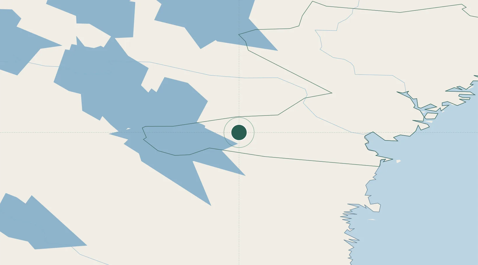
Populated place
Region
Västernorrland
Time zone
Europe/Stockholm
Elevation
96 m
Location
Nearby Logistics Neighbours
Ports
- 1Vivstavarv74 km
- 2Sundsvall76 km
- 3Stockvik79 km
- 4Soraker81 km
- 5Stocka102 km
Airports
- 1Sundsvall-Härnösand Airport78 km
- 2Sveg Airport94 km
- 3Åre Östersund Airport103 km
- 4Kramfors-Sollefteå Höga Kusten Airport110 km
- 5Söderhamn Airport154 km
Trade Zones
- 1Stockholm Free Zone373 km
- 2Turku Free Zone407 km
- 3Freeport of Hanko479 km
- 4Jönköping Free Zone540 km
- 5Gothenburg Boundless Customs Warehouse583 km
DatabookThe Record of Consolidated Knowledge
Sweden beyond logistics?