Transport Functions
Rail
Road
Hub Profile
Region
Z
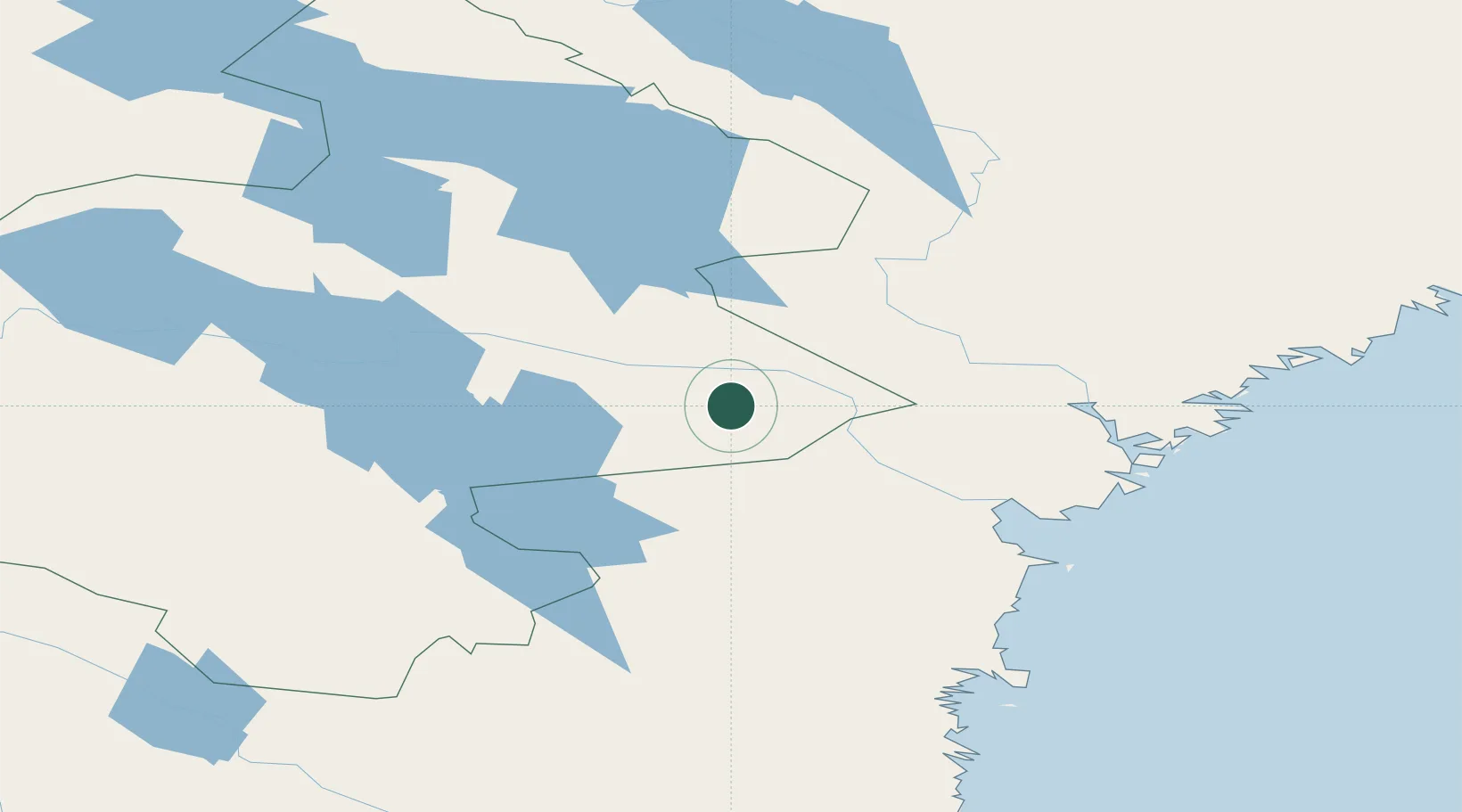
Location
Nearby Logistics Neighbours
Ports
- 1Bollstabruk82 km
- 2Vaja83 km
- 3Vivstavarv85 km
- 4Kramfors87 km
- 5Soraker90 km
Airports
- 1Åre Östersund Airport83 km
- 2Kramfors-Sollefteå Höga Kusten Airport85 km
- 3Sundsvall-Härnösand Airport86 km
- 4Sveg Airport135 km
- 5Örnsköldsvik Airport153 km
Trade Zones
- 1Stockholm Free Zone419 km
- 2Turku Free Zone429 km
- 3Freeport of Hanko504 km
- 4Oulu Port Free Warehouse Area506 km
- 5Paldiski Free Zone590 km
DatabookThe Record of Consolidated Knowledge
Sweden beyond logistics?