Transport Functions
Port
Rail
Road
Hub Profile
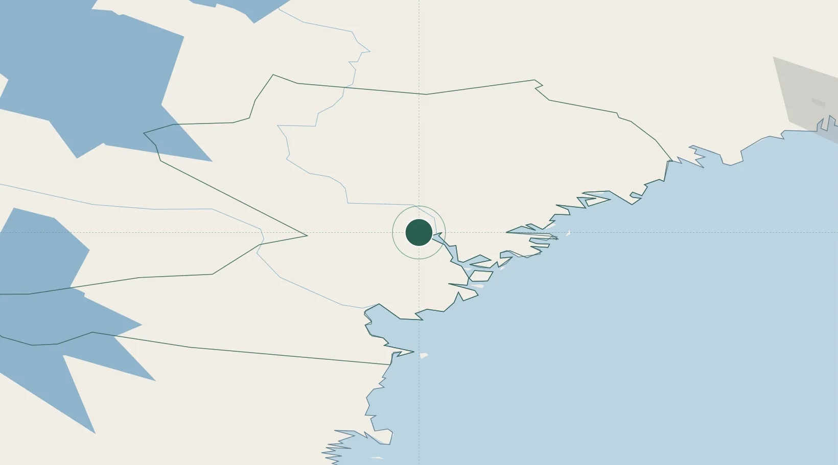
Place type
Populated place
Region
Västernorrland
Population
1,883
Time zone
Europe/Stockholm
Elevation
2 m
Location
Nearby Logistics Neighbours
Cities
- 1Kramfors9 km
- 2Gustavsvik21 km
- 3Noraström23 km
- 4Härnösand43 km
- 5Köpmanholmen48 km
Ports
- 1Vaja3 km
- 2Kramfors10 km
- 3Gustavsvik21 km
- 4Utansjo29 km
- 5Harnosand43 km
Airports
- 1Kramfors-Sollefteå Höga Kusten Airport7 km
- 2Sundsvall-Härnösand Airport54 km
- 3Örnsköldsvik Airport80 km
- 4Åre Östersund Airport161 km
- 5Lycksele Airport180 km
Trade Zones
- 1Turku Free Zone371 km
- 2Stockholm Free Zone407 km
- 3Oulu Port Free Warehouse Area437 km
- 4Freeport of Hanko448 km
- 5Paldiski Free Zone532 km
DatabookThe Record of Consolidated Knowledge
Sweden beyond logistics?